Starting point: Murova (590 m)
Starting point Lat/Lon: 46.4386°N 14.0495°E 
Time of walking: 1 h 10 min
Difficulty: easy unmarked way
Difficulty of skiing: partly demanding
Altitude difference: 435 m
Altitude difference (by path): 435 m
Map: Karavanke - osrednji del 1 : 50.000
Access to starting point:
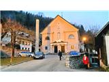
From highway Ljubljana - Jesenice we go to the exit Lipce (Jesenice east), where we turn right towards Jesenice. At the first crossroad with traffic lights on Slovenski Javornik we turn left towards the center of the town. In the seventh traffic light crossroads in a row, we turn sharply right and drive only a few tens of meters, then turn left uphill towards the church on Murova. We park nearby.
Path description:
From the starting point, we go on the road which ascends by the left side of the church past a few houses uphill towards the east. When a little higher we come through the left turn, on the left side of the road we notice a bench and short stairs, by which we ascend onto the slope. Here we step onto a logging trail, which turns left and we start ascending. Soon when the logging trail turns right and slightly splits, we continue right on the wider main logging trail, which a few steps higher past an abandoned power line brings us into a denser forest. Further, turned towards the east, we ascend on an occasionally gentle logging trail, which, after an open part of the forest (a view of Jesenice), crosses a stream, narrows, and ascends a bit more steeply. A little higher, when the steepness briefly eases, the path brings us to a less noticeable junction, where we turn sharply left (straight an overgrown path, right a steep grooved path downwards), onto a logging trail that leads uphill, back towards the northwest, across a large clearing. After a few minutes of crossing the clearing, the occasionally overgrown logging trail brings us back into the forest. Soon after, on a gentle section, we encounter a sharp right turn-off of the logging trail, where we head (straight an abandoned quarry of Trbiška breča), and continue on the logging trail uphill towards the east. Soon it turns sharply left, but we continue straight on an older (currently less used) logging trail. After some time, the path brings us to an open, cleared part of the forest, semicircularly surrounded by the slope of the hill. The footpath that continues our route is located on the other side of this area (slightly to the right below the slope with rocks). Since there is an abundance of fallen trees in front of us, we must bypass them on the right side. Once we do this and reach the slope with some rocks, with attention we find a footpath that diagonally ascends into the steep slope. This, after a short ascent, brings us to a path that runs along the edge of the southern slope of Mirca. We turn sharply left and continue towards the summit. Here the path through the forest curves slightly to the right and, a little higher, leads us to a somewhat steeper ascent, where it still more or less follows the edge of the southwestern slope of the hill. Higher, on a grassy part, a view opens up slightly towards the Julian Alps with Triglav, and by the path, we also come across an improvised bench, where we can rest. Only a little higher, the path moves away from the edge, turns slightly to the right, and for a short time crosses the southeastern slope towards the north. Before it brings us to the eastern, more shady slope, the path turns almost perpendicularly left towards the summit (straight or slightly left - a barely noticeable transverse path on the steep eastern slope). A little higher, the path again brings us to the southwestern edge of the hill, where a view opens up slightly towards the valley and Mežakla on the left, and a few meters from the path also towards Golica, Krvavka, and Črni vrh on the right. After a few minutes of moderate ascent along the path by the edge, it brings us to the summit of Mirca, where we come across a cairn. A partial view into the valley and towards the Ljubljana Basin can be enjoyed about 20 meters before the destination, near the spot where a slightly larger beech tree grows by the steep edge on the left. Only a few meters left of this, and just as much lower, a view of the Ljubljana Basin is offered on the steep slope.
Pictures:
 1
1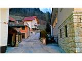 2
2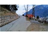 3
3 4
4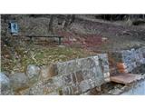 5
5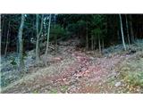 6
6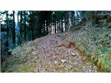 7
7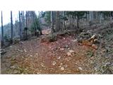 8
8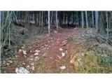 9
9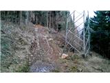 10
10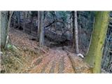 11
11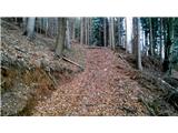 12
12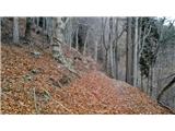 13
13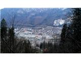 14
14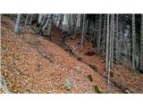 15
15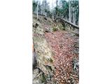 16
16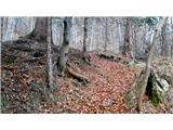 17
17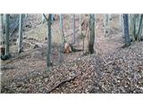 18
18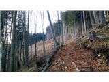 19
19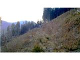 20
20 21
21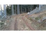 22
22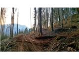 23
23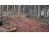 24
24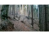 25
25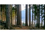 26
26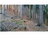 27
27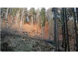 28
28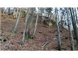 29
29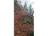 30
30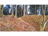 31
31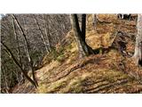 32
32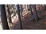 33
33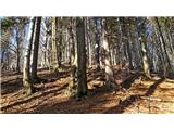 34
34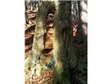 35
35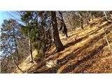 36
36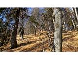 37
37 38
38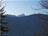 39
39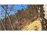 40
40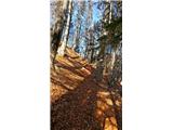 41
41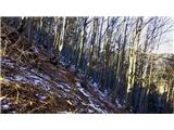 42
42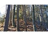 43
43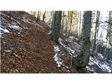 44
44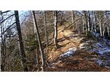 45
45 46
46 47
47 48
48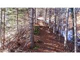 49
49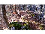 50
50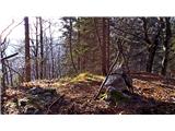 51
51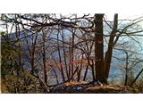 52
52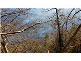 53
53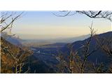 54
54