Muta (Spodnja Muta) - Sveti Jernej above Muta (via Bricnik)
Starting point: Muta (Spodnja Muta) (330 m)
Starting point Lat/Lon: 46.6128°N 15.167°E 
Path name: via Bricnik
Time of walking: 3 h 20 min
Difficulty: easy marked way
Difficulty of skiing: no data
Altitude difference: 708 m
Altitude difference (by path): 900 m
Map: Pohorje - izletniška karta 1:50.000
Access to starting point:
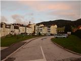
A) First, we drive to Dravograd, then continue driving towards Maribor. After crossing Mučka Bistrica, we turn left into the settlement Muta, where we then park at a suitable spot in the center of the settlement Spodnja Muta. Some parking lots are intended only for residents.
B) We drive to Maribor, then follow the signs for Dravograd. Slightly past the settlement Zgornja Vižinga, we turn right towards the settlement Muta, where we then park in the center of Spodnja Muta at a suitable parking lot. Some parking lots are intended only for residents.
Path description:
We start the trail beside Cesta na Primož, along which we easily ascend towards the northeast. After a few minutes we arrive at a crossroads, where the mountain sign for Bricnik directs us left, and we quickly arrive at the beginning of the settlement Sv. Primož nad Muto. At the next crossroads the blazes direct us left, then we ascend transversely over a panoramic grassy slope. When a little higher the road turns right, it loses the asphalt covering and enters the forest for a while, where it makes a right hairpin turn. Soon we return from the forest, where the trail leads past the Sušek homestead, a little above the homestead from the crossroads we continue straight or slightly right. Along the macadam road we bypass the turn-off to the excursion farm Breznik, at the next crossroads, at the sign for the Janež farm, we leave the road and continue on the marked trail, which steeply ascends through the forest for a while, and when it flattens, joins the macadam road. We continue on the panoramic road, from which a nice view opens towards Pohorje, Uršlja gora, Peca, and in the distance also the Kamniško-Savinjske Alps. We bypass the buildings on the Pentat farm on the left side, then we reach an asphalt road, which we just cross and continue towards Bricnik (signpost for Zavetišče Onuk - Glavar shows right, but it is also better to continue towards Bricnik for this destination). An ascent through the forest follows, when we reach the Žaucer homestead we bypass it on the right side. A few-minute transverse ascent to the right and a left hairpin turn follow, after which we again reach an asphalt road and a marked junction.
From the junction we continue straight towards Bricnik (left church of St. Primož, right Zavetišče Glavar) and ascend to the forest. Through the forest we ascend transversely towards the right and first walk on a cart track, which we soon leave as the blazes direct us right off the cart track. Even on the hiking trail we ascend in the same direction, higher up a path leading past Zavetišče Glavar joins us. A few more minutes of ascent follow, where at the junctions we follow the blazes, then the trail flattens and brings us to the top of Bricnik.
From Bricnik we continue on the marked trail towards St. Jernej, where we first gently, then more steeply descend along a cart track. Lower we reach a macadam road, which continues without major elevation changes, and at the crossroads we follow it towards St. Jernej. After a somewhat larger marked crossroads the trail brings us out of the forest onto panoramic meadows, where to the right a path branches off to the Lanc-Onuk homestead, and to the left a beautiful view opens towards Uršlja gora, Raduha and Peca. We continue on the road, from which a nice view also opens towards the church of St. Lovrenc, which is located on the Austrian side of the state border. After a few minutes of further walking we reach the excursion farm Odernik, where the road ends.
We continue through the yard, then the trail leads us along a gentle cart track, along which we arrive at a marked junction, beside which there is a wooden shrine.
From the junction we continue slightly left towards St. Jernej (slightly right St. Lovrenc), along the trail which first gently, then steeply descends towards the Vud stream, which we also cross lower down. On the other side of the stream the trail turns right and first gently ascends along the stream, when the trail turns left it begins to steeply ascend. Approximately 20 minutes of ascent through the forest follow, then we step out of the forest, where the trail flattens, and we continue slightly right to the hunting observatory and the nearby chapel. From the chapel we continue along a gentle and panoramic meadow, at the end of which we arrive at the Primož homestead, where beside the mighty linden tree there is a logbook box.
From the logbook box we continue in the direction of Bistriški jarek and Pernic and continue along the road, along which in approximately 5 minutes we ascend to the church of St. Jernej.
Muta - Bricnik 1:50, Bricnik - St. Jernej 1:30.
Description and pictures refer to the condition in 2018 (October).
Pictures:
 1
1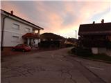 2
2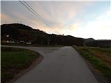 3
3 4
4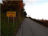 5
5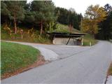 6
6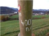 7
7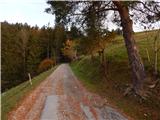 8
8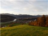 9
9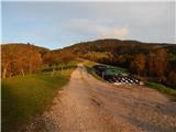 10
10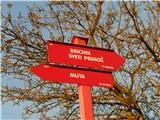 11
11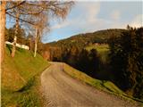 12
12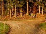 13
13 14
14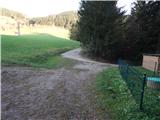 15
15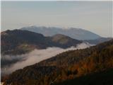 16
16 17
17 18
18 19
19 20
20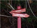 21
21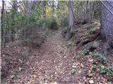 22
22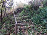 23
23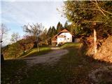 24
24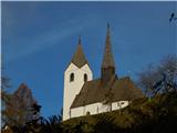 25
25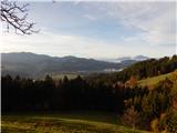 26
26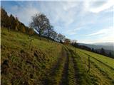 27
27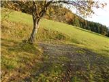 28
28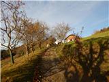 29
29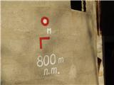 30
30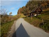 31
31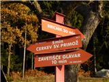 32
32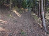 33
33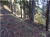 34
34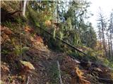 35
35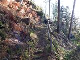 36
36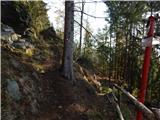 37
37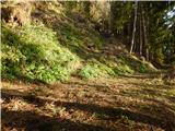 38
38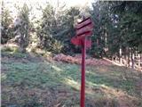 39
39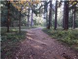 40
40 41
41 42
42 43
43 44
44 45
45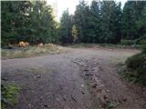 46
46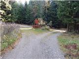 47
47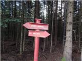 48
48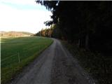 49
49 50
50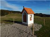 51
51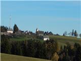 52
52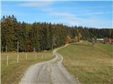 53
53 54
54 55
55 56
56 57
57 58
58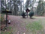 59
59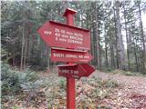 60
60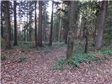 61
61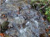 62
62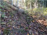 63
63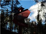 64
64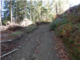 65
65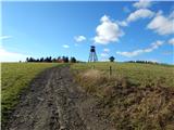 66
66 67
67 68
68 69
69 70
70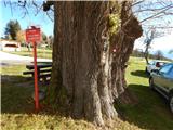 71
71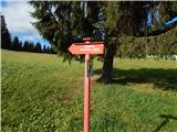 72
72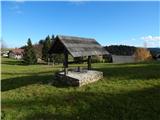 73
73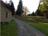 74
74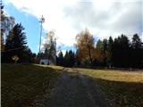 75
75 76
76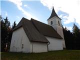 77
77