Starting point: Naraplje (253 m)
Starting point Lat/Lon: 46.32259°N 15.76316°E 
Time of walking: 1 h 30 min
Difficulty: easy marked way
Difficulty of skiing: no data
Altitude difference: 164 m
Altitude difference (by path): 250 m
Map:
Access to starting point:
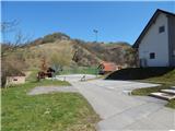
A) We leave Štajerska highway at exit Slovenska Bistrica - jug, and then we follow the road towards Poljčane, and from there towards Makole, Majšperk and Ptuj. At the end of Majšperk at the roundabout we go to the exit in the direction of Žetale and Jurovci. We continue on the main road to the settlement Stanečka vas and a little further. At the end of the settlement Stanečka vas we continue right towards Žetale and Naraplje. Further, we quickly get to Naraplje, and on the road we drive to the center of the settlement, where we park on a parking lot by the sports field and by hiking signposts.
B) We leave Podravska highway at exit Lancova vas, and then we follow the signs for Podlehnik and Jurovci. At the end of the settlement Tržec at the roundabout we go right towards Jurovci and further we drive towards Majšperk. In the settlement Stogovci we turn left towards Žetale and we quickly get to the settlement Naraplje, and we drive to the center of the settlement, where we park on a parking lot by hiking signposts and sports field.
Path description:
From the parking lot, we go on the path towards Janški Vrh, and before the water mill, we cross a smaller bridge, after which the road turns slightly to the right. At the next crossroad, we go straight on a cart track, and after we again cross the stream, we go left and we continue near the stream. A little further, the path passes into a valley of the mentioned stream and we go from the path by the watercourse left on a cart track which ascends diagonally. Higher, we cross the pasture, and a little ahead also a cart track, and above the farm we reach a macadam road, on which we continue the ascent to a smaller saddle, where we go right.
Further an asphalt road quickly brings us to the next crossroad, by which there is a chapel, and we continue sharply right towards Janški Vrh.
We continue on occasionally quite panoramic road which then few times ascends and then descends again, and at the crossroads, we follow the blazes or signs for Janški Vrh.
Eventually we leave the road because hiking signposts point us slightly to the right on a footpath which ascends above the road, and leads on a partly grassy slope. The path a little ahead flattens and leads us past few houses. Behind the houses, we reach a marked crossroad, and we continue straight (left - Doklece, right - Dolena) and past the last houses we ascend to the church of St. John the Baptist on Janški Vrh.
Description and pictures refer to a condition in April 2022.
Pictures:
 1
1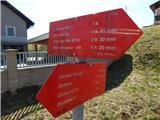 2
2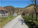 3
3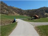 4
4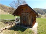 5
5 6
6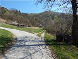 7
7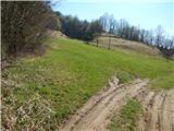 8
8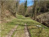 9
9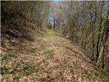 10
10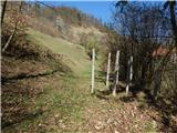 11
11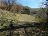 12
12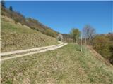 13
13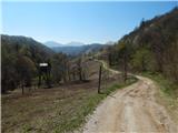 14
14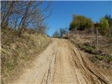 15
15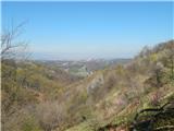 16
16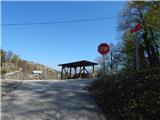 17
17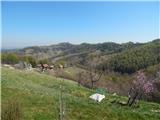 18
18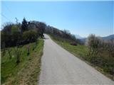 19
19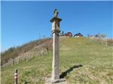 20
20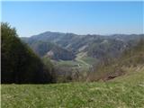 21
21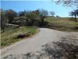 22
22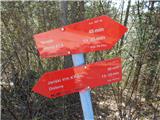 23
23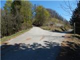 24
24 25
25 26
26 27
27 28
28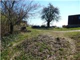 29
29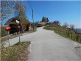 30
30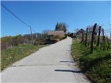 31
31 32
32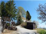 33
33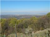 34
34