Starting point: Nemci (865 m)
Starting point Lat/Lon: 45.9936°N 13.7743°E 
Time of walking: 2 h 40 min
Difficulty: easy unmarked way
Difficulty of skiing: no data
Altitude difference: 545 m
Altitude difference (by path): 570 m
Map: Goriška - izletniška karta 1:50.000
Access to starting point:
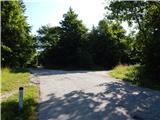
First, we drive to Solkan, and then we continue driving towards Sveta Gora, Grgar, Čepovan, Trnovo pri Gorici and Lokve. From new roundabout in Preval we go to the exit towards Lokve and Trnovo pri Gorici, and then we follow mostly ascending road to the settlement Nemci. When the settlement ends, we go on first road right and then we park on an appropriate place by the crossroad.
Path description:
From the starting point, we continue on the forest road which at first leads us past few sinkholes and it is mostly gently to moderately ascending. After some time, we get to a smaller crossroad, where we go sharply right and we continue on a wider road, and there after few minutes we come to the next crossroad, where we go left upwards. It does not take long, when we get to the next crossroad, where we go once again left, and when a little further, the road splits, we choose the slightly right upper road, and there in few minutes we walk to the forestry cottage.
Before the cottage we go left and then we follow the macadam road to its end. When below the summit of Petelinovec (1362 meters) road ends, we continue on an older cart track which ascends steeper, and then through quite overgrown part brings us to other macadam road which we follow left upwards (right Preval, Smrečje and Krnica). Next follows a moderate ascent on the macadam road which quickly brings us on slopes of Mrzovec, where it turns right and it ascends diagonally through steeper part, from which a nice view opens up. When the worse road passes into the forest, we go from there left on a slightly overgrown cart track, and there we ascend to a nice viewpoint, from which the view reaches all the way to Gulf of Trieste.
Here we go from the cart track right on a worse footpath, on which in three minutes we ascend to the summit of Mrzovec, where there stands a trigonometric tower.
Nemci - forestry cottage 1:30, forestry cottage - Mrzovec 1:10.
Description and pictures refer to a condition in the year 2019 (July).
On the way: Gozdarska koča (1135m)
Pictures:
 1
1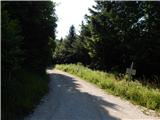 2
2 3
3 4
4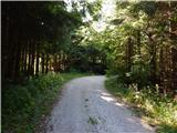 5
5 6
6 7
7 8
8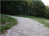 9
9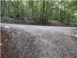 10
10 11
11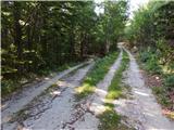 12
12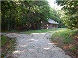 13
13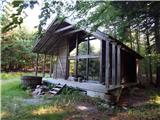 14
14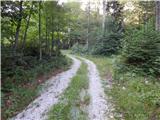 15
15 16
16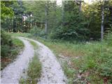 17
17 18
18 19
19 20
20 21
21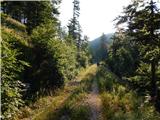 22
22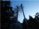 23
23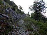 24
24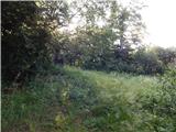 25
25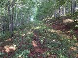 26
26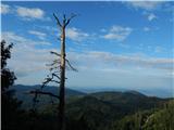 27
27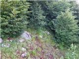 28
28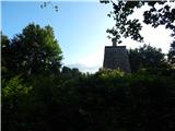 29
29 30
30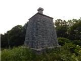 31
31