Nomenj - Bitenjska planina (via Emin plavž)
Starting point: Nomenj (490 m)
Starting point Lat/Lon: 46.2893°N 14.003°E 
Path name: via Emin plavž
Time of walking: 1 h 20 min
Difficulty: easy unmarked way
Difficulty of skiing: no data
Altitude difference: 411 m
Altitude difference (by path): 425 m
Map: TNP 1:50.000
Access to starting point:
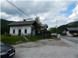
A) We drive to Bled, from there we continue driving towards Bohinj. Still before Bohinjska Bistrica, at the settlement Nomenj, where by the main road are situated the bus station, the railway station and the inn Gostilna pri Matičku, the described path begins. At the starting point, there are no appropriate places for parking.
B) We drive to Bohinjska Bistrica, and then we continue driving towards Bled. Still before Bled, at the settlement Nomenj, where by the main road are situated the bus station, the railway station and the inn Gostilna pri Matičku, the described path begins. At the starting point, there are no appropriate places for parking.
Path description:
From the inn Gostilna pri Matičku we continue in the direction of the waterfall Grmečica, where the path at first leads parallel to the main road, but we walk on a poorer macadam road. Soon we go right through the underpass under the railway track, then we go right again in the direction of the waterfall Grmečica and Emin's plavž. We continue on the macadam road, which over the pastures brings us to the former parking lot; today parking is allowed only with a permit for fishermen and users of the gorge (canyoning).
From the parking lot we continue further on the macadam road, which quickly brings us to the footbridge over the river Sava Bohinjka. After the bridge we continue left towards Emin's plavž (right the waterfall Grmečica) and walk on the macadam road to the nearby Emin's plavž, where there is an information board.
Over the small wooden bridge we walk to the renovated ruins of the plavž, then we continue on the cart track in the direction towards the source of the Plavžarica (the signpost points somewhat too much to the right). Further on, we first ascend along the left side of the Plavžarica, higher we cross it and continue the ascent briefly along the left bank, but the path before the source veers further to the right, where at the triangular junction of cart tracks we choose the one that ascends. A few more junctions follow, but we follow the "main" track, along which we ascend to the forest road, which we follow to the left (right to Nemški Rovt).
The path further leads us along the forest road, which crosses the slopes to the left; we walk along it for about 20 minutes, or until the place where a path leading from Podkorit towards Ratitovec crosses the road (the mentioned path is marked as marked on some maps, but it is not).
At the mentioned place we leave the road and continue right onto the path, which continues through the forest, through which it begins to ascend more steeply. Higher up a few almost imperceptible junctions follow, but we follow the "main" path, which brings us higher to a more rocky and partly high-grass-overgrown cart track. Here we continue left, and then after a few meters, upon reaching a small valley, right onto the gentle cart track, along which we ascend to the nearby macadam road. We follow the road to the right, then after some tens of meters at a small right bend slightly left onto the cart track, along which we ascend to the lower part of Bitenjska planina. When we step out of the forest we continue slightly left, then after a short ascent we already see the first huts on the pasture, to which we walk across an increasingly panoramic meadow.
Pictures:
 1
1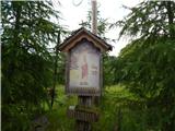 2
2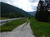 3
3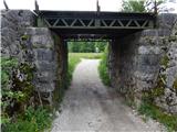 4
4 5
5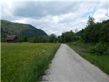 6
6 7
7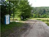 8
8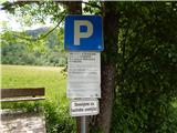 9
9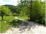 10
10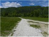 11
11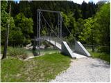 12
12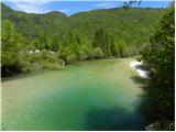 13
13 14
14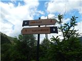 15
15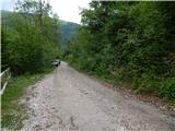 16
16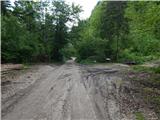 17
17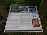 18
18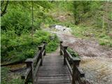 19
19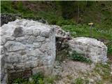 20
20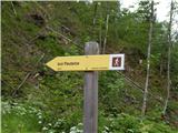 21
21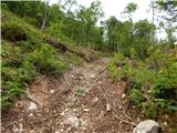 22
22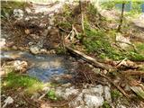 23
23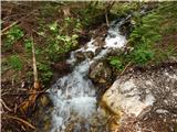 24
24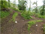 25
25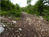 26
26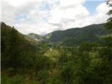 27
27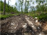 28
28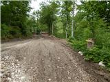 29
29 30
30 31
31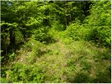 32
32 33
33 34
34 35
35 36
36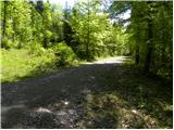 37
37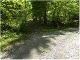 38
38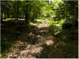 39
39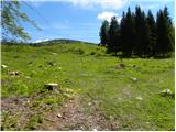 40
40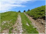 41
41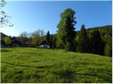 42
42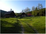 43
43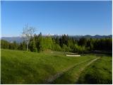 44
44