Oberdrosen - Holzmannkogel
Starting point: Oberdrosen (278 m)
Starting point Lat/Lon: 46.88038°N 16.10645°E 
Time of walking: 30 min
Difficulty: easy marked way
Difficulty of skiing: no data
Altitude difference: 115 m
Altitude difference (by path): 115 m
Map:
Access to starting point:
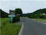
Over the border crossing Kuzma, we drive to Austria and continue towards the settlement Ženavci / Jennersdorf. From the roundabout before the access road, we take the first exit towards the settlement Sveti Martin / Sankt Martin an der Raab; in the middle of the settlement, we turn right to continue on Oberdrosener Landesstraße. On Oberdrosener Landesstraße, we drive to the settlement Oberdrosen, where the bus stop Oberdrosen South marks the start of the described path. At the starting point, there aren't any parking spots.
Path description:
From the starting point, we continue on the road ahead, and it leads by the stream Drosenbach. A few minutes after the settlement ends, we veer slightly left at a smaller crossroad onto a side road, marked with signs for Dreiländerecke. Shortly after the crossroad, the road enters the forest and begins to ascend steeply. Higher up, the road levels out, and we continue straight at the smaller crossroad. Follows a few more minutes of walking to the next crossroad, where at a smaller cottage we leave the road and continue sharply to the left on a cart track, which continues through the forest and in a few minutes brings us to the hunting cottage.
At the hunting cottage, we leave the cart track and we bypass the cottage on the right side, and then we continue on an indistinct southwestern ridge of peak Holzmannkogel, where we follow rare blazes, but there isn't any beaten footpath further. We follow this path to a few minutes distant peak.
Description and pictures refer to the cattle pen in February and June 2023.
Pictures:
 1
1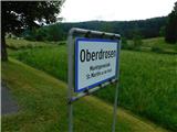 2
2 3
3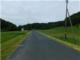 4
4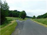 5
5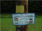 6
6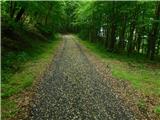 7
7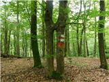 8
8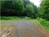 9
9 10
10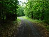 11
11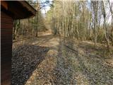 12
12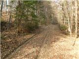 13
13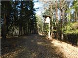 14
14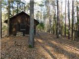 15
15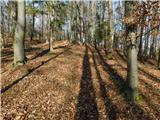 16
16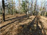 17
17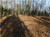 18
18 19
19