Starting point: Osp (57 m)
Starting point Lat/Lon: 45.5713°N 13.857°E 
Time of walking: 1 h
Difficulty: easy marked way
Difficulty of skiing: easily
Altitude difference: 317 m
Altitude difference (by path): 317 m
Map: Primorje in Kras 1:50.000
Access to starting point:
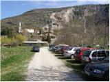
From highway Ljubljana - Koper we go to the exit Črni Kal and follow the road ahead towards Črni Kal and Osp. At the beginning of the ascent towards Črni Kal road towards the village Osp branches off to the left. The road then runs by the columns of a viaduct and after a short descent it brings us in the village Osp, where in the middle of the settlement there is the beginning of the described path.
Path description:
From the center of the settlement, we go in the direction of a camp and Tinjan, and the road after the camp brings us to a small bridge and behind it quickly to a crossroad, where we continue right and then immediately left. Further, we are gently ascending on a worse, but well-marked road. After few minutes of the ascent blazes point us to the right on a footpath which ascends through a lane of quite overgrown forest. When we come out of the forest, we step on ample grassy slopes from which we clearly see antenna tower on Tinjan. The path then goes again in the forest, where it is moderately ascending over numerous but well-marked crossings. A little below the summit of Tinjan we again step on the road which we follow past a water supply structure to a turn with a view. At the beginning of the turn the blazes point us to the left upwards and the path in a moderate ascent quickly brings us to the top.
Pictures:
 1
1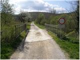 2
2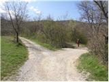 3
3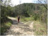 4
4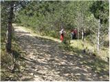 5
5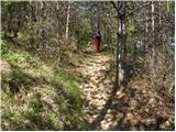 6
6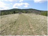 7
7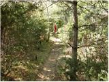 8
8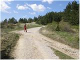 9
9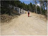 10
10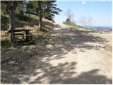 11
11 12
12