Pernegg an der Mur (railway station) - Rennfeld
Starting point: Pernegg an der Mur (railway station) (455 m)
Starting point Lat/Lon: 47.35964°N 15.34251°E 
Time of walking: 2 h 45 min
Difficulty: easy marked way
Difficulty of skiing: no data
Altitude difference: 1174 m
Altitude difference (by path): 1219 m
Map: https://www.bergfex.at
Access to starting point:
Highway Maribor-Graz-Salzburg (A9) after few shorter tunnels outside Graz we leave and we continue right on the highway in the direction of Wien-Bruck/Muhr-Peggau.
We leave the highway at the Mixnitz exit, and then at the roundabout we choose the third exit for Pernegg. Immediately after, we reach the next roundabout, where we choose the first exit for Pernegg (3km).
After approximately 2 km at the crossroads, we turn left and then immediately left again in the direction of Pernegg. After 200 meters on the priority road, we turn left over the bridge and continue straight.
Just before the underpass, we turn right and arrive at the parking lot at the railway station, where we park.
Path description:
From the parking lot, we pass the railway station and descend on a footpath to the underpass, where the marked path number 713 to Rennfeld begins.
Up the stairs, we reach the road and follow it toward the church.
Before reaching the church, a signpost directs us left onto a side road.
Along the quiet road past houses, we reach the end of the settlement. We continue to a crossroad where a macadam road begins.
We cross a small wooden bridge and proceed on a rougher road. After 300 meters, signposts guide us right onto a forest footpath.
We leave the road and head upward along the footpath.
On steep terrain through the forest, we quickly gain altitude. In doing so, we cross the forest road several times.
A little higher, we walk on the road for a short time, then the marked path at the cottage "Zatschpucher" leads us back onto a forest footpath.
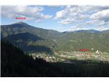
At an altitude of 1450m, we emerge from the forest and see a large meadow ahead. We continue on a meadow upwards. If we look back from the middle of the meadow, we have a breathtaking view of the valley.
At the top of the meadow, we continue through a sparser forest on varied terrain, slightly up and down. Soon, in the distance above the trees, we spot the peak of the transmitter.
From here, it’s only a few meters to the top. The path is well-marked, easy, and technically simple.
Pictures:
 1
1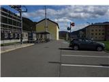 2
2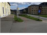 3
3 4
4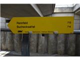 5
5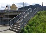 6
6 7
7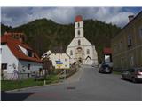 8
8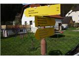 9
9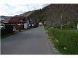 10
10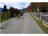 11
11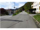 12
12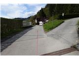 13
13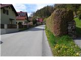 14
14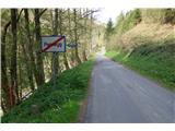 15
15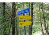 16
16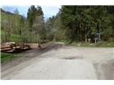 17
17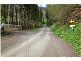 18
18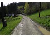 19
19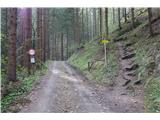 20
20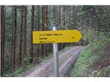 21
21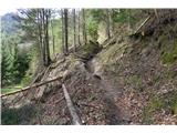 22
22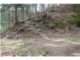 23
23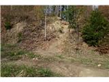 24
24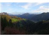 25
25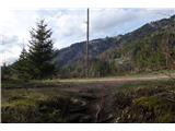 26
26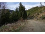 27
27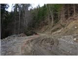 28
28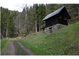 29
29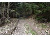 30
30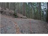 31
31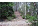 32
32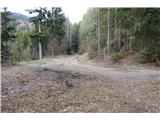 33
33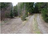 34
34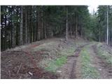 35
35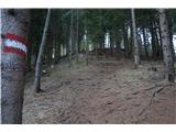 36
36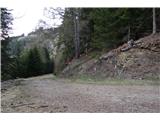 37
37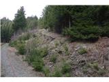 38
38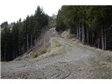 39
39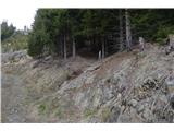 40
40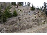 41
41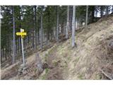 42
42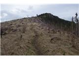 43
43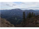 44
44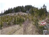 45
45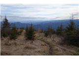 46
46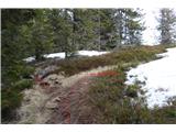 47
47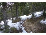 48
48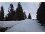 49
49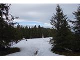 50
50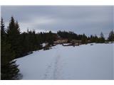 51
51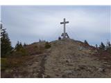 52
52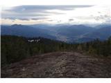 53
53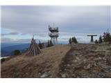 54
54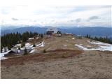 55
55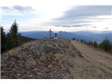 56
56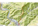 57
57