Pfaffensattel - Großer Pfaff
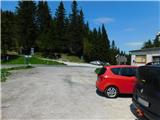
Starting point: Pfaffensattel (1372 m)
Starting point Lat/Lon: 47.57016°N 15.81394°E 
Time of walking: 55 min
Difficulty: easy unmarked way
Difficulty of skiing: no data
Altitude difference: 183 m
Altitude difference (by path): 210 m
Map:
Access to starting point:
From the border crossing Šentilj we continue driving on the highway towards Gradec / Graz and forward towards Linz and Salzburg. We soon leave Highway A9 and continue driving slightly to the right towards Vienna/Wien, proceeding on Highway S35. From this highway, we then merge onto Highway S6, still following the signs for Vienna. We leave the highway after the tunnel Spital/S. and then we take the exit towards Semmering. We continue following the signs for Steinhaus and Spittal/S. and shortly after, we turn left towards the settlement Birkfeld and the mountain pass Pfaffensattel. We keep following the signs for the mentioned mountain pass, where we park.
Path description:
From the mountain pass, we head to the eastern side of the road, where we take the path towards the summit Hochwechsel and the mountain pass Feistritzsattel. We initially walk on a rougher road, passing a gate, and in a few minutes, we reach a spot where blazes direct us slightly to the right onto a footpath that soon begins to ascend steeply. Higher up, the forest thins, the path levels out, and with some views along this section, we reach the peak Grabmayr-Kogel.
From the aforementioned summit, the path returns to the forest and briefly descends. This is followed by a few minutes of walking without significant changes in altitude, then we notice signs for Kleiner Pfaff pointing to the right (the sign is from the opposite direction), but we continue straight, descending along the still-marked path to the saddle between the peaks Großer Pfaff and Kleiner Pfaff.
Here, a beautiful view opens up to the right, and a few dozen steps further, we leave the marked path towards the mountain pass Feistritzsattel, continuing to the right towards the summit (sign reads ZUM GIPFEL). The path ahead begins to ascend steeply, initially leading through the forest and higher up through dwarf pines. When the steepness eases, we quickly reach the panoramic summit.
Starting point - Grabmayr-Kogel 0:25, Grabmayr-Kogel - Großer Pfaff 0:30.
Description and pictures refer to the condition in May 2023.
Pictures:
 1
1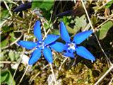 2
2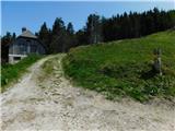 3
3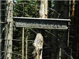 4
4 5
5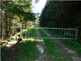 6
6 7
7 8
8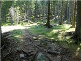 9
9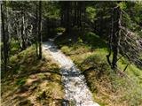 10
10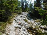 11
11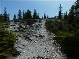 12
12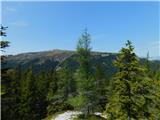 13
13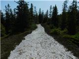 14
14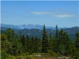 15
15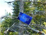 16
16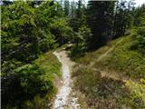 17
17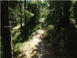 18
18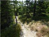 19
19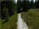 20
20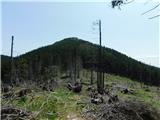 21
21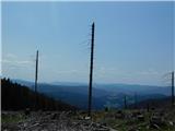 22
22 23
23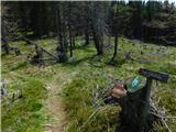 24
24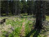 25
25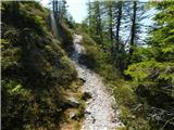 26
26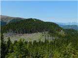 27
27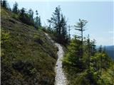 28
28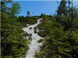 29
29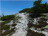 30
30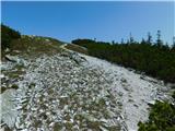 31
31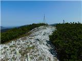 32
32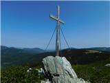 33
33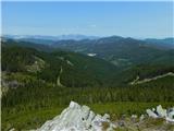 34
34