Pišnica - Frdamane police
Starting point: Pišnica (870 m)
Starting point Lat/Lon: 46.4688°N 13.7833°E 
Time of walking: 4 h 30 min
Difficulty: very difficult pathless terrain
Difficulty of skiing: no data
Altitude difference: 1414 m
Altitude difference (by path): 1440 m
Map: TNP 1 : 50.000
Access to starting point:
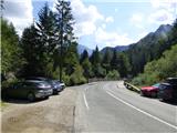
First, we drive to Kranjska Gora, and then we continue driving in the direction of Bovec. Only a little after guest house Jasna, we will get to a bridge over the river Pišnica, by which we park on a smaller parking lot. We can also park few 10 meters back on a large parking lot next to TNP signs or near the former hotel Erika.
Path description:
From the parking lot, we go on a macadam road which runs towards mountani hut Koča v Krnici. After approximately half an hour of easy walking we leave the road and we continue the ascent left in the direction of Špik through ditch Kačji graben. The path ahead is at first ascending through overgrown forest, and higher crosses bottom part of the mentioned ditch and then steeply ascends. Ascent by Kačji graben is very steep and in wet dangerous for slipping (we get help from some fixed safety gear). After that, the path becomes a little easier and passes into a dense forest, through which we are ascending to altitude approximately 1600 meters. Forest then becomes thinner and the path brings us by the foot of mighty scree. When we ascend to the scree, the path turns a little to the left and starts ascending on gravel terrain of the scree. A walk on a relatively steep scree takes quite some energy.
When below the walls of Špik on the scree, the marked path turns to the right, we leave the marked path and continue on the scree. We ascend straight upwards on the scree, and at the top of the scree, we notice a faint footpath crossing a slope above the scree. We go to the left and, on the mentioned footpath, cross a slope towards the gully on the southeastern side of Frdamane police. Here, we can also notice a few cairns along the path, which help with orientation. When we ascend to the gully, we continue right through the gully upwards. In the gully, there is quite a lot of gravel, so some caution is needed during the ascent. The easiest ascent is along the right edge of the gully. Such an ascent brings us to the notch.
At the notch, or possibly a few meters below it, we then go to the left and start ascending a steep slope, partly covered with grass. Higher up, cairns guide us slightly to the left, and a poorly visible footpath leads us below the steep upper rocky slope. Here, we turn right and diagonally ascend to the main ridge, where a view opens towards the cirque Pod srcem deep below us.
We continue left and start ascending on steeper rocks. While looking for better passages, we are aided by the cairns. Here, we ascend relatively steeply a few times, requiring some easy climbing. A short ascent follows along a narrow, exposed ridge to the secondary peak.
From the secondary peak, we slightly descend, followed by a short crossing on the left side of the ridge. At the end, a short ascent follows on a steeper slope with some gravel. Such an ascent brings us to the panoramic summit, where an inscription box is also located.
From the summit, we can continue to the northwestern peak, which is slightly lower (climbing up to grade II).
We descend on the ascent route.
Description and pictures refer to conditions in August 2024.
Pictures:
 1
1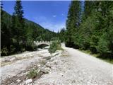 2
2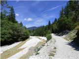 3
3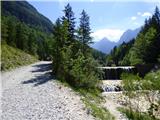 4
4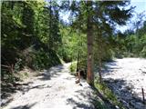 5
5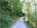 6
6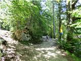 7
7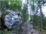 8
8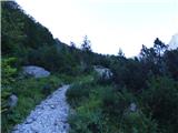 9
9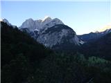 10
10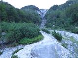 11
11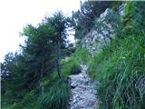 12
12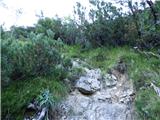 13
13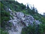 14
14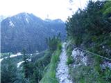 15
15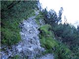 16
16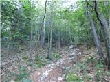 17
17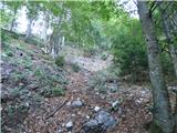 18
18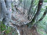 19
19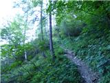 20
20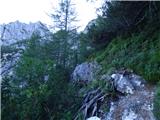 21
21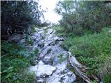 22
22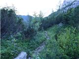 23
23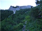 24
24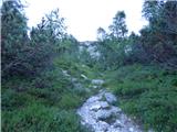 25
25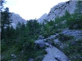 26
26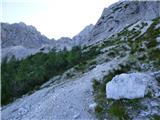 27
27 28
28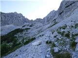 29
29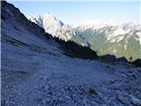 30
30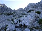 31
31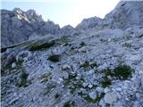 32
32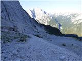 33
33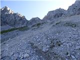 34
34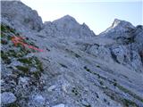 35
35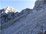 36
36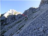 37
37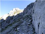 38
38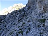 39
39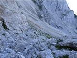 40
40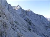 41
41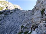 42
42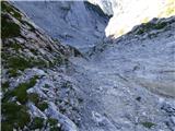 43
43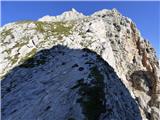 44
44 45
45 46
46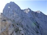 47
47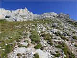 48
48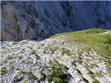 49
49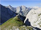 50
50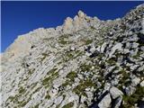 51
51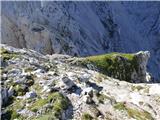 52
52 53
53 54
54 55
55 56
56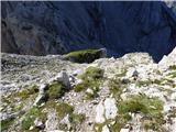 57
57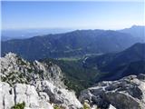 58
58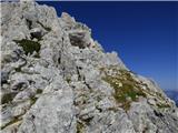 59
59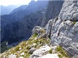 60
60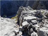 61
61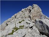 62
62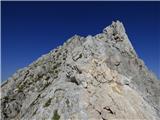 63
63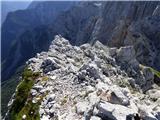 64
64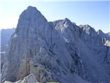 65
65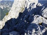 66
66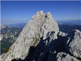 67
67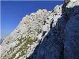 68
68 69
69 70
70 71
71 72
72 73
73 74
74 75
75