Pišnica - Špik (via Kačji graben)
Starting point: Pišnica (870 m)
Starting point Lat/Lon: 46.4688°N 13.7833°E 
Path name: via Kačji graben
Time of walking: 4 h 45 min
Difficulty: difficult marked way
Difficulty of skiing: very demanding
Altitude difference: 1602 m
Altitude difference (by path): 1602 m
Map: TNP 1 : 50.000
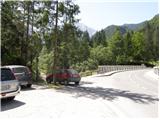
Access to starting point:
First, we drive to Kranjska Gora, and then we continue driving in the direction of Bovec. Only a little after guest house Jasna, we will get to a bridge over the river Pišnica, by which we park on a smaller parking lot. We can also park few 10 meters back on a large parking lot next to TNP signs or near the former hotel Erika.
Path description:
From the parking lot, we go on a macadam road which runs towards mountani hut Koča v Krnici. After approximately half an hour of easy walking we leave the road and we continue the ascent left in the direction of Špik through ditch Kačji graben. The path ahead is at first ascending through overgrown forest, and higher crosses bottom part of the mentioned ditch and then steeply ascends. Ascent by Kačji graben is very steep and in wet dangerous for slipping (we get help from some fixed safety gear). After that, the path becomes a little easier and passes into a dense forest, through which we are ascending to altitude approximately 1600 meters. Forest then becomes thinner and the path brings us by the foot of mighty scree. When we ascend to the scree, the path turns a little to the left and starts ascending on gravel terrain of the scree. A walk on a relatively steep scree takes quite some energy.
Higher, the path turns to the right, crosses to falling stones exposed gully and then it brings us into a smaller cirque between Špik on the left and Liprtica (Lipnica) on the right. Here the path for a short time flattens a little and in few next strides it brings us to the spot, where joins the path over Grunt or path over Lipnica.
Here we continue left, on the path which very steeply ascends on the upper slope of Špik (without fixed safety gear). After approximately 15 minutes of walking on the upper slope, on which we ascend on rugged rocks we reach the panoramic peak.
In the last part of the path is a great risk of falling stones.
Pictures:
 1
1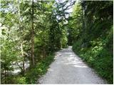 2
2 3
3 4
4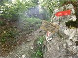 5
5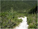 6
6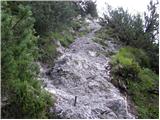 7
7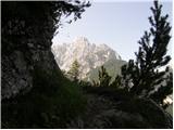 8
8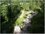 9
9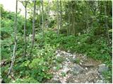 10
10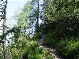 11
11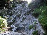 12
12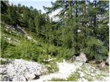 13
13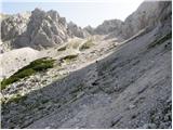 14
14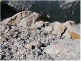 15
15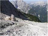 16
16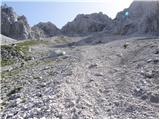 17
17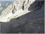 18
18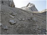 19
19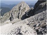 20
20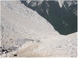 21
21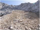 22
22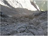 23
23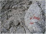 24
24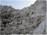 25
25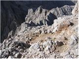 26
26 27
27