Starting point: Pivka (565 m)
Starting point Lat/Lon: 45.6703°N 14.1928°E 
Time of walking: 1 h 30 min
Difficulty: easy marked way
Difficulty of skiing: no data
Altitude difference: 186 m
Altitude difference (by path): 230 m
Map: Snežnik 1:50.000
Access to starting point:
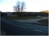
From highway Ljubljana - Koper, we go to the exit Postojna, and then we continue driving in the direction of Ilirska Bistrica. Only a little after the settlement Pivka, or just before the road goes through the underpass under the railway track, we turn right and we park on a parking lot between the railway and the main road.
Path description:
From the parking lot, we at first walk to the main road, we carefully cross it, and then we go on a macadam road in the direction of Primož, Snežnik and Šilentabor. The road at first ascends through the forest and then it flattens and brings us out of the forest on a larger meadow. Here, the path branches off to the right towards museum, and we continue on the road in the direction of fortresses. The road then returns into the forest and it again starts moderately ascending. A little higher in the middle of the left turn marked footpath branches off to the right on Šilentabor.
We continue in the mentioned direction (left Primož 10 minutes) and we start descending diagonally through a lane of bushes and low forest. After a short descent, we join the cart track, and by the edge of pastures it brings us to a marked crossing, where the path or worse road branches off to the left downwards towards the nearby village Parje.
Here we go slightly right and continue by mesh fence to the next crossing, and we reach it already after a minute of additional walking. This time we continue left and we are still ascending by the fence, and at the next crossings we follow the blazes and signs for Šilentabor. Higher, the path flattens and brings us out of the forest on a larger panoramic meadow, where at the crossing we continue slightly left. For some time we still continue through a meadow, from which there is a nice view towards Šilentabor, and then the cart track, on which we walk changes into a wider macadam road, on which we in few minutes ascend into village Šilentabor. In the village we continue right and past the inscription box and transmitters in few minutes we walk to a panoramic summit.
Pictures:
 1
1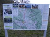 2
2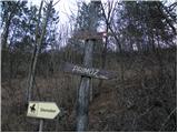 3
3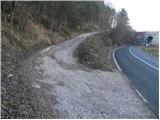 4
4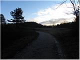 5
5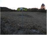 6
6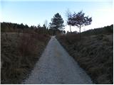 7
7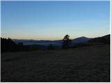 8
8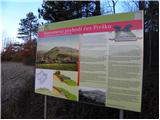 9
9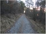 10
10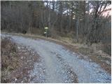 11
11 12
12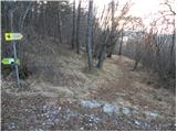 13
13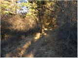 14
14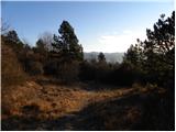 15
15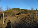 16
16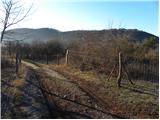 17
17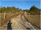 18
18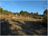 19
19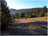 20
20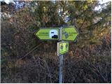 21
21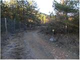 22
22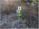 23
23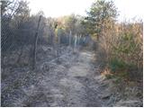 24
24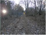 25
25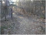 26
26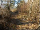 27
27 28
28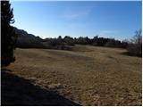 29
29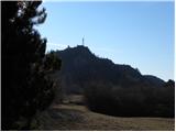 30
30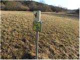 31
31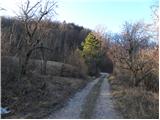 32
32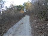 33
33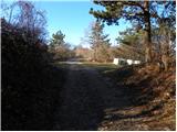 34
34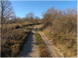 35
35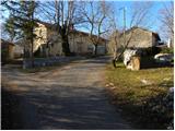 36
36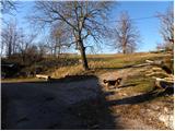 37
37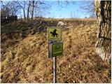 38
38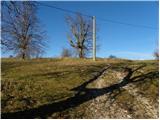 39
39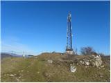 40
40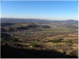 41
41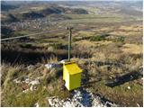 42
42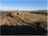 43
43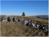 44
44 45
45