Planina Kuhinja - Gomiščkovo zavetišče na Krnu
Starting point: Planina Kuhinja (991 m)
Starting point Lat/Lon: 46.2413°N 13.663°E 
Time of walking: 3 h 5 min
Difficulty: easy marked way
Difficulty of skiing: partly demanding
Altitude difference: 1191 m
Altitude difference (by path): 1191 m
Map: Julijske Alpe - zahodni del 1:50.000
Access to starting point:
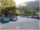
From Tolmin we drive towards Kobarid or vice versa, but only to a spot, where signs for Kamno point us to the right (from the direction Kobarid left) over a bridge. A relatively narrow and ascending road we then follow in the direction of village Vrsno and higher Krn. From the village Krn we continue in the direction of the mountain hut Koča na planini Kuhinja. When we get to a large parking lot, where slightly left the road continues towards the mountain hut Koča na planini Kuhinja, we park on a large parking lot.
Path description:
From the parking lot, we go on the left bottom road in the direction of the mountain hut Koča na planini Kuhinja. The path at first leads on the road which crosses a lane of thin forest and then splits into two parts.
The right path bypasses the mountain hut Koča na planini Kuhinja and is a little shorter, and left which continues on the road leads past the already mentioned mountain hut.
A little above the mountain hut both paths join again, and we continue the ascent on a gently sloping path in the direction of Krn. The path ahead is at first gently, after that occasionally more steeply ascending on grassy slopes, which are fenced with grazing fences. The path which few times crosses a bad mountain road after approximately 40 minutes of walking, it brings us to an old military hamlet on the mountain pasture Slapnik.
The path ahead crosses a road a few more times, then joins the path from the end of the road at the mountain pasture Zaslap. The path ahead, in a moderate ascent on grassy slopes, crosses slightly to the right, then to the left, reaching an unmarked crossing on an area named Leger. We continue straight to the southwestern ridge of Krn (the path to the right is an unmarked shortcut to Krn and also a shortcut towards notch Krnska škrbina, as higher up we cross a mule track leading in the direction of notch Krnska škrbina). When, a little further, the path brings us to the ridge, a beautiful view opens up on Matajur, Kobariški Stol, and the valley of the river Soča. A wide path is then ascending by the ridge in hairpin turns. We are getting closer to the cottage Gomiščkovo zavetišče on Krn, but to there we still have quite some walking. In the final part of the ascent to the cottage, the path becomes increasingly rocky but remains wide. We follow this path all the way to the cottage.
Pictures:
 1
1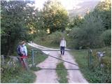 2
2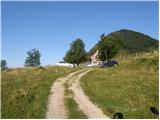 3
3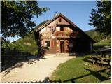 4
4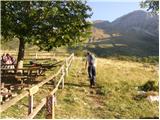 5
5 6
6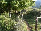 7
7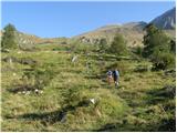 8
8 9
9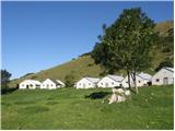 10
10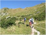 11
11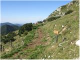 12
12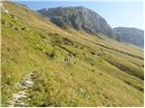 13
13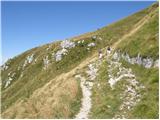 14
14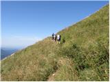 15
15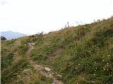 16
16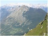 17
17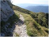 18
18 19
19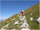 20
20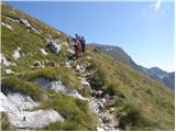 21
21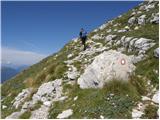 22
22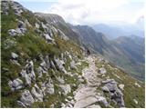 23
23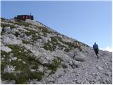 24
24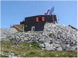 25
25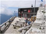 26
26