Planinska Ravna - Javorca (Golte) (Janezova pot)
Starting point: Planinska Ravna (1140 m)
Path name: Janezova pot
Time of walking: 1 h
Difficulty: very difficult unmarked way
Difficulty of skiing: no data
Altitude difference: 325 m
Altitude difference (by path): 330 m
Map: Kamniške in Savinjske Alpe 1:50.000
Access to starting point:
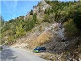
We drive to Mozirje, where at the roundabout before the administrative building we head towards Golte, Šmihel. 2.5 km ahead, we turn right at the inn Vid towards Šmihel (the road to the left leads to the bottom station of the Golte cable car). In the village Šmihel (the church on the right side), we drive straight ahead to the next crossroad and turn left towards Golte. The road soon leads us to the next crossroad, where we again turn left towards Golte. Then we drive straight along the main road. After a few kilometers of driving, we arrive at Planinska Ravna. On the left side of the road, there is a wooden fence and an iron gate. We drive a little further to a quarry on the right side and park there.
Path description:
From the parking lot, we go approximately 100 meters forward on the road and before the second manhole by the road, we turn right steeply upwards. The footpath immediately above the first rocks turns left into the forest, and we can easily follow it upwards further. When we reach a point quite higher below a rock barrier, we tackle it on the right side. When we overcome the first rocky jump, we notice the peak of a short ridge to the left above us. It is easiest to ascend on the right, increasingly harder towards the left side. From the peak of the ridge or Pomol below Mozirska koča, we can already see our destination, Javorca. We continue on a narrow ridge, then descend a few steps downwards in the forest and turn right. Next follows a traverse to the right to a marked path from Žekovec to Mozirska koča. We cross this path and continue through the forest steeply upwards to the next vantage point. Be careful there. From the vantage point, we then go on a footpath upwards to the next viewpoint with a bench, Na skalci. We continue upwards to a crossing. To the left, it is less than 100 meters to Mozirska koča. But we continue right. Soon, there is another viewpoint with a bench. After a few minutes, there is another crossing. We go right. After a few meters, we reach a ladder by which we descend downwards and then traverse to the next vantage point, Odstreljeno peč. From here, we go about 30 meters upwards on the path that runs over Požganija and then turn right. The demanding path brings us to an exposed ridge with beautiful views. In front of us is the short, most challenging part of the path, the ascent on the ridge to the summit of Prepasane peči. Then we just continue along the edge of Prepasane peči into the forest and traverse right below Javorca to Janezov bivak. There, there is also a logbook and a bar, which practically offers itself. To your health, but only for health and nothing more. To the top, there is only a little more traversing and then left to the summit of Javorca, where there is a bench, a swing, and a breathtaking view.
Both rocky jumps are of grade II difficulty. For those who find this too demanding, they can go around without climbing via detours on the left side.
For the descent from Javorca, there are many options available. A little further is already path Severjeva pot to Boskovec, so...
Pictures:
 1
1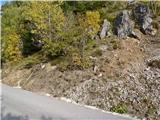 2
2 3
3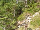 4
4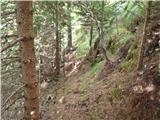 5
5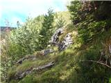 6
6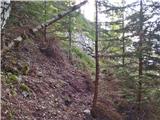 7
7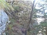 8
8 9
9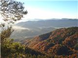 10
10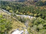 11
11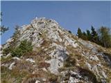 12
12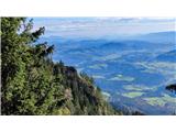 13
13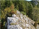 14
14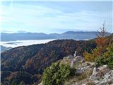 15
15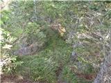 16
16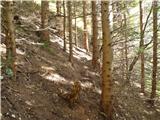 17
17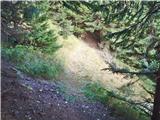 18
18 19
19 20
20 21
21 22
22 23
23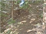 24
24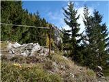 25
25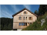 26
26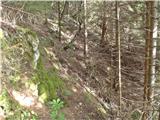 27
27 28
28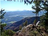 29
29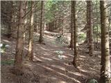 30
30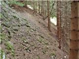 31
31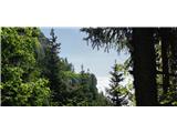 32
32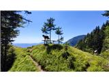 33
33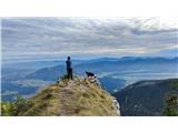 34
34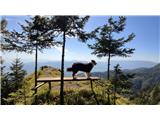 35
35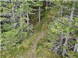 36
36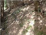 37
37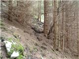 38
38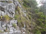 39
39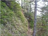 40
40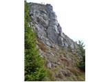 41
41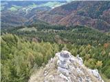 42
42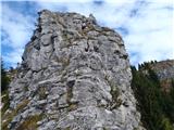 43
43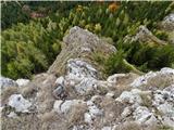 44
44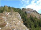 45
45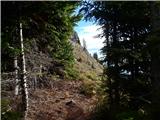 46
46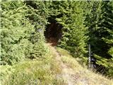 47
47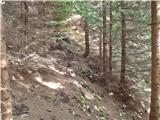 48
48 49
49 50
50 51
51 52
52 53
53 54
54 55
55 56
56 57
57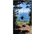 58
58 59
59 60
60