Platak - Snježnik (via crest)
Starting point: Platak (1111 m)
Starting point Lat/Lon: 45.4251°N 14.5653°E 
Path name: via crest
Time of walking: 1 h 30 min
Difficulty: easy marked way
Difficulty of skiing: partly demanding
Altitude difference: 395 m
Altitude difference (by path): 430 m
Map:
Access to starting point:
Path description:
On the way: Rimska vrata (1348m)
Pictures:
 1
1 2
2 3
3 4
4 5
5 6
6 7
7 8
8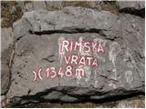 9
9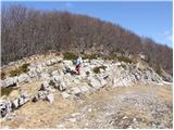 10
10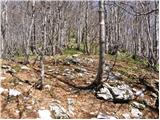 11
11 12
12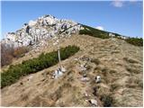 13
13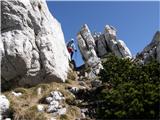 14
14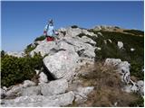 15
15 16
16