Plave - Kuk above Paljevo
Starting point: Plave (85 m)
Starting point Lat/Lon: 46.0401°N 13.5907°E 
Time of walking: 1 h 35 min
Difficulty: easy unmarked way
Difficulty of skiing: no data
Altitude difference: 527 m
Altitude difference (by path): 527 m
Map: Goriška - izletniška karta 1:50.000
Access to starting point:
A) First, we drive to Nova Gorica, and then we continue driving in the direction of Bovec and Tolmin. Further, we drive through the valley of Soča; we drive on the main road to the settlement Plave, where at the crossroad, where the road branches off to the right to Paljevo, the beginning of the described path is. Because at the starting point there are no arranged parking places, we have to park somewhere else, best on some appropriate place by the road before or after the settlement, or on the other side of the river Soča near the little church or somewhere on the periphery of the village.
B) We drive to the settlement Most na Soči, and from there we drive towards Nova Gorica. When we arrive at the settlement Plave, or at the crossroad where the road branches off to the left towards the settlement Paljevo, we are at the beginning of the described path. Because at the starting point there are no arranged parking places, we have to park somewhere else, best on some appropriate place by the road before or after the settlement, or on the other side of the river Soča near the little church or somewhere on the periphery of the village.
Path description:
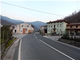
From the settlement Plave we continue on the asphalt road in the direction of Paljevo. The path at first leads past a few houses, and then it quickly brings us to the left hairpin turn, where on a smaller building there is a NOB marker. We continue on a quite panoramic road, which brings us past the bench to the right hairpin turn, where straight ahead a footpath to Prižnica (elevation 383) continues, and we continue right, further on the road. Further, for some time we cross the slopes to the right, then, a little after crossing the torrent stream, in the hairpin the road turns sharply left. From the road on which we continue walking, a nice view opens up towards Korada and Prižnica. When the road from the slopes almost transitions to more level ground, on the right side we notice a cart track and unofficial signs for Kuk next to it (signs for Kuk are made with spray).
The path ahead runs through the forest, leading us across several junctions, where we follow the signs for Kuk or dots on the trees. On sections somewhat more overgrown, the path, which for most of the time ascends moderately, higher up flattens out completely, then gradually turns a little to the right, where it begins to ascend ever more steeply. A few minutes of steep ascent follow, then the path brings us below the forested ridge, where it continues to the left. A few minutes of easy walking follow right under the ridge, then the path brings us out of the forest to the panoramic take-off point of Kuk, where there is also a small shelter.
Further, the better-trodden path continues left of the shelter and traverses below the summit of Kuk. At the spot where we approach the summit most closely, we leave the trail and in one minute of further walking ascend to the forested Kuk.
Because the summit is in the forest, most hikers choose the nearby viewpoint as the goal.
The description and pictures refer to the conditions in 2015 (March).
Pictures:
 1
1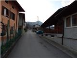 2
2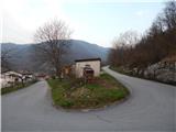 3
3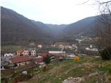 4
4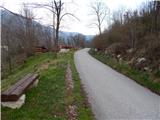 5
5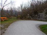 6
6 7
7 8
8 9
9 10
10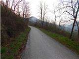 11
11 12
12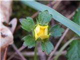 13
13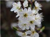 14
14 15
15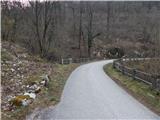 16
16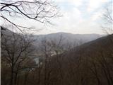 17
17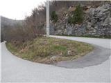 18
18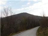 19
19 20
20 21
21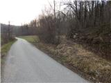 22
22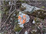 23
23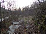 24
24 25
25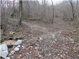 26
26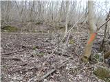 27
27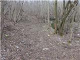 28
28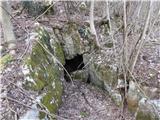 29
29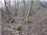 30
30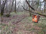 31
31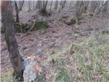 32
32 33
33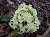 34
34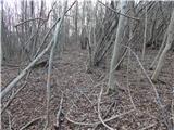 35
35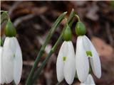 36
36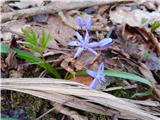 37
37 38
38 39
39 40
40 41
41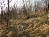 42
42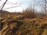 43
43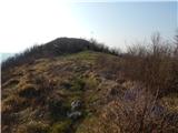 44
44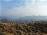 45
45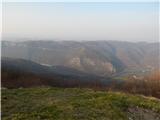 46
46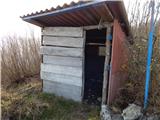 47
47 48
48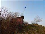 49
49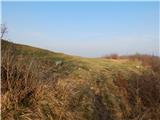 50
50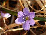 51
51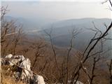 52
52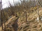 53
53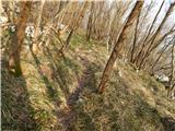 54
54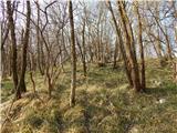 55
55