Starting point: Plavje (96 m)
Starting point Lat/Lon: 45.5734°N 13.8028°E 
Time of walking: 1 h 10 min
Difficulty: easy unmarked way
Difficulty of skiing: no data
Altitude difference: 278 m
Altitude difference (by path): 290 m
Map: Primorje in Kras 1:50.000
Access to starting point:
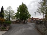
From Primorska highway, at the junction Srmin we follow the signs for Škofije and Ankaran, and then we drive on exit Škofije. From the nearby roundabout, we drive in the direction of Škofije, and then we drive to the center of the settlement, where at the crossroads we continue on the main road. When the road starts descending, we will turn right in the direction of the settlement Plavje. In Plavje, at the church of St. Lucija and St. Rok there is the beginning of the described path, and it is the easiest to park about 200 meters ahead in the direction of Trst, on a parking lot by the cemetery.
Path description:
From the spot, where we've parked, we at first walk to the church of St. Lucija and St. Rok, and then we go on a side road which ascends on the right side of the church. The path then leads us also past the sports field and a house in which was established the first committee of liberation front in Slovenian Istria. We continue past few more houses, and after the recycling spot, we continue to the left upper road which starts ascending steeper. Settlement Plavje soon ends, and the road higher brings us to Urbanci, where we go past few more houses and a chapel. A little behind the chapel, the asphalt and village end, and the road leads us diagonally on slopes of the peak with interesting name Kava (303 meters). At the smaller crossroad, we continue straight on a wider road, and follows also a short easy descent and crossing of a route of a high voltage power line.
Below the power line, we continue slightly right, and when the road goes into the forest, we leave it and we continue right on a footpath which starts ascending through the forest. Next follows few minutes of mostly diagonal ascent on a footpath which for a descent is used also by cyclists, so additional caution is recommended. A little further, we reach the cart track which we follow to the right, and further we are accompanied also by blazes, because we joined the path from Osp and Dekani.
A short ascent follows on a cart track, and then we reach the viewpoint, from which a nice view opens up towards Osp, wall Osapska stena, Socerb and surrounding hills.
Here the path turns left and past the smaller cemetery ascends to the summit of Tinjan.
Description and pictures refer to a condition in the year 2018 (April).
On the way: Urbanci (280m)
Pictures:
 1
1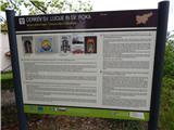 2
2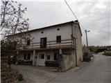 3
3 4
4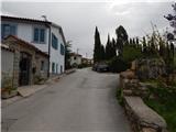 5
5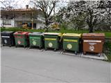 6
6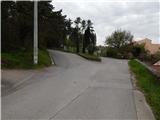 7
7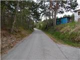 8
8 9
9 10
10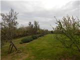 11
11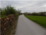 12
12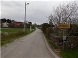 13
13 14
14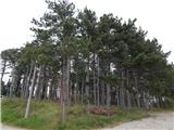 15
15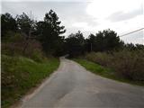 16
16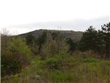 17
17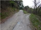 18
18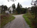 19
19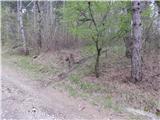 20
20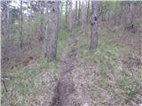 21
21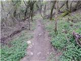 22
22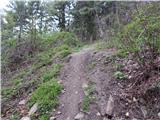 23
23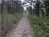 24
24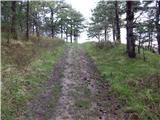 25
25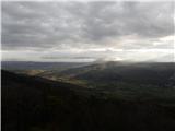 26
26 27
27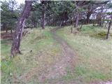 28
28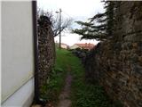 29
29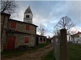 30
30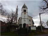 31
31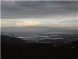 32
32