Plaz Črlovec - Drobeče Sleme (via Vrtaška planina)
Starting point: Plaz Črlovec (920 m)
Starting point Lat/Lon: 46.4311°N 13.8784°E 
Path name: via Vrtaška planina
Time of walking: 4 h
Difficulty: difficult unmarked way, easy marked way
Difficulty of skiing: no data
Altitude difference: 1109 m
Altitude difference (by path): 1160 m
Map: TNP 1:50.000
Access to starting point:
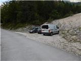
We drive to Mojstrana, then we follow the signs for the Vrata valley. Along the road through the Vrata valley we drive to the road sign 8 km or some 10 meters further to the Plaz Črlovec gully, where the described path begins. Parking in the area of the TNP is allowed only on marked parking spots.
Path description:
From the Plaz Črlovec gully we return along the road some 10 meters back, then continue on a side road which continues towards the northeast. The path ahead leads us past the gate, after the gate an unmarked path branches off to the left, which leads towards Kukova špica and Njivice, and we continue straight and still walk on the road. While walking on the road, the path leads us past the mountain pasture Višek, behind it we quickly arrive at the Peričnik stream, which we cross over the footbridge. On the other side of the stream we walk on the road only a short time, then go left on a well-beaten forest path, along which we start to ascend through the forest. After a few minutes the path splits, and we continue left (straight well-beaten shortcut (the path via the shortcut is shorter by approximately 10 minutes and also easier)) on the constructed path, which gradually starts to ascend steeply. After a short ascent we arrive at the vantage point, above the vantage point the path becomes quite steep. For some time we ascend steeply, then arrive below the cliffs of Lengarjev Komen (1520 m), where we continue right. Next follows crossing of partly vegetated scree and behind it a few grooves and gullies, where the trail is narrower and especially in wet dangerous for slipping. When the slope becomes less steep, the shortcut joins from the right, and the path gradually becomes steeper again. Higher we ascend steeply again, and the slope also becomes steep. Next follows some traversing ascent, then we arrive at the steel cable, which helps us on the short steep ascent on the exposed slope. When the safety gear ends we are on a nice vantage point, from which a nice view opens onto the Vrata valley and the mountains above it. Next follows crossing of a grazing fence, then we continue right and walk a few minutes without major elevation changes. After a few minutes we go slightly left and ascend to the shepherd's cottage on Vrtaška planina.
From the mountain pasture we continue in the direction of Vrtaški vrh and Sleme, the path when it enters the forest turns slightly left and starts moderately to occasionally steeply ascending. Higher the path flattens and leaves the grazing area (on this part the old path to Vrtaški vrh branches off to the right). Further in a gentle ascent we cross more and more panoramic and occasionally steeper slopes, after some time we arrive at the pasture on Njivice, where we enter a nice little valley.
At the beginning of the little valley the "upper path" from the Plaz Črlovec gully joins almost imperceptibly from the left, and we continue to the nearby marked junction.
From the junction we continue straight in the direction towards Sleme (right Vrtaški vrh 20 minutes), the path on the upper part of the pasture turns slightly left into a belt of dwarf pines. Next follows an easy ascent through dwarf pines and sparse larch forest, when the path turns somewhat more to the left, it also starts to ascend more steeply on the higher grassy slope. After a few minutes of steep ascent we reach a panoramic ridge, from which a nice view opens towards Kukova špica, Špik and surrounding mountains.
On the ridge we go right (left Sleme 10 minutes) and continue on an unmarked trail, on which we quickly arrive in a belt of dwarf pines. The trail through dwarf pines is nicely traceable, and in a few minutes of further walking we arrive at the summit of Drobeče Sleme.
Starting point - Vrtaška planina 1:45, Vrtaška planina - Njivice 1:20, Njivice - Drobeče Sleme 0:55.
Pictures:
 1
1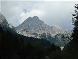 2
2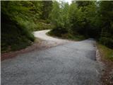 3
3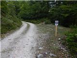 4
4 5
5 6
6 7
7 8
8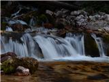 9
9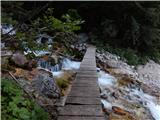 10
10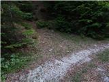 11
11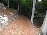 12
12 13
13 14
14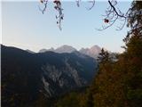 15
15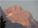 16
16 17
17 18
18 19
19 20
20 21
21 22
22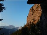 23
23 24
24 25
25 26
26 27
27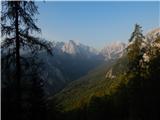 28
28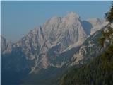 29
29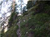 30
30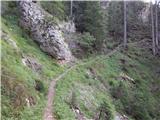 31
31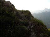 32
32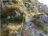 33
33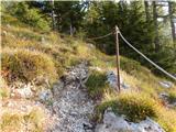 34
34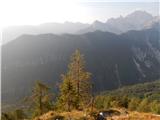 35
35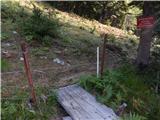 36
36 37
37 38
38 39
39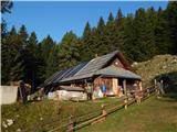 40
40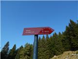 41
41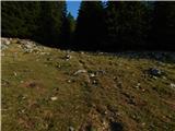 42
42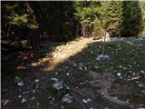 43
43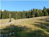 44
44 45
45 46
46 47
47 48
48 49
49 50
50 51
51 52
52 53
53 54
54 55
55 56
56 57
57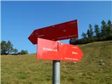 58
58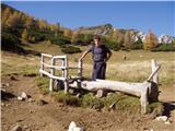 59
59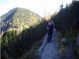 60
60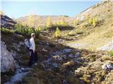 61
61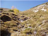 62
62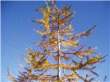 63
63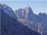 64
64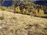 65
65 66
66 67
67 68
68