Plaz Črlovec - Kukova špica (via Gulce)
Starting point: Plaz Črlovec (920 m)
Starting point Lat/Lon: 46.4311°N 13.8784°E 
Path name: via Gulce
Time of walking: 5 h
Difficulty: difficult unmarked way
Difficulty of skiing: very demanding
Altitude difference: 1507 m
Altitude difference (by path): 1515 m
Map: TNP 1:50.000
Access to starting point:
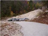
We leave Gorenjska highway at exit Hrušica and follow the road ahead in the direction of Kranjska Gora. Just a little before the village Dovje the road which goes to Mojstrana (Vrata, Kot and Krma) branches off to the left. We follow the road ahead in the direction of valley Vrata and we drive there past the mountain hut Koča pri Peričniku to the spot, where a large landslide crosses the road. Here we park on one of the parking lots by the road.
Path description:
On bottom side of the gulley we will notice a footpath which is at first ascending gently by the gulley named Črlovec. Soon the path starts ascending steeper and brings us between the both torrential gulleys (Mali and Veliki Črlovec). The path is then in zig-zags steeply ascending mostly through a dense forest. After two hours of walking, we step on diagonal path (Poldov rovt - Vrtaško sleme), where we continue left. Further, we descend few meters and we cross a gully of Veliki Črlovec (in wet dangerous for slipping). After that, the path still crosses slopes towards the left and it brings us out of the forest on the scree vegetated with dwarf pines. Here we need to pay attention, because the path on Kukova špica leaves diagonal path and continues right upwards (turn-off isn't marked, exceptions are cairns, which are often ruined by avalanches). The path ahead is ascending partly on grassy slopes, and partly on the scree. Higher, the path steeply ascends, over a shorter rocky jump and then brings us on meadows below the saddle Čez Gulce. To here we need good 4 hours.
On the saddle, we turn right and on a quite steep path, which isn't too exposed we reach the peak in good 30 minutes of additional walking.
In the upper part there is high risk of falling stones. The entire path is exposed to avalanches! In the middle part because of numerous footpaths it is hard to find the right path.
On the way: Čez Gulce (2257m)
Pictures:
 1
1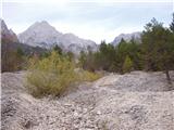 2
2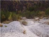 3
3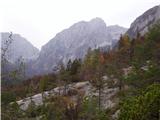 4
4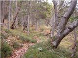 5
5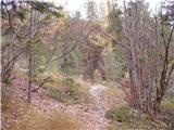 6
6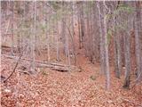 7
7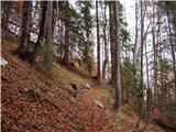 8
8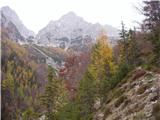 9
9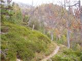 10
10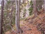 11
11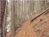 12
12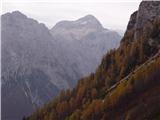 13
13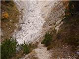 14
14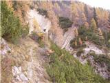 15
15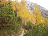 16
16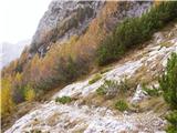 17
17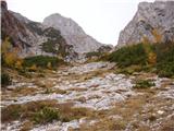 18
18 19
19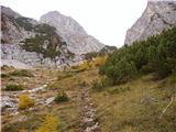 20
20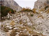 21
21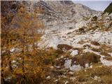 22
22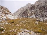 23
23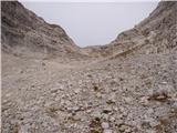 24
24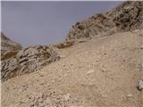 25
25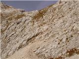 26
26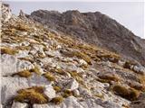 27
27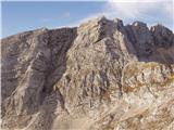 28
28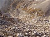 29
29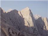 30
30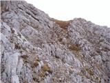 31
31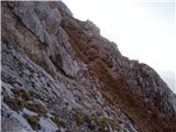 32
32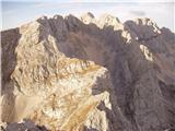 33
33 34
34 35
35 36
36