Pod Krnico - Koschutnikturm (Košutnikov turn) (eastern way)
Starting point: Pod Krnico (1250 m)
Starting point Lat/Lon: 46.4346°N 14.4083°E 
Path name: eastern way
Time of walking: 2 h 30 min
Difficulty: difficult marked way
Difficulty of skiing: very demanding
Altitude difference: 883 m
Altitude difference (by path): 883 m
Map: Karavanke - osrednji del 1:50.000
Access to starting point:
From highway Ljubljana - Jesenice we go to the exit Ljubelj. From this road before the gas station, we turn right in Tržič. The road then quickly brings us in Tržič, and we follow it further in the direction of village Jelendol and Medvodje. In the village Medvodje we turn left towards Košuta on the forest road which we follow to a crossroad at Košutnik (house) approximately at 1000m. Here we go right and we drive to the parking lot at a smaller quarry.
Path description:
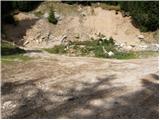
From the parking lot, we go on a cart track which branches off left from the road. Cart track goes into the forest and is moderately ascending, and in doing so at first crosses smaller and then bigger stream. Cart track, which has some shortcuts makes some turns and after good 15 minutes brings us on the mountain pasture Spodnja Dolga njiva.
After a short walk on the mountain pasture path brings us to a crossing, where there are signposts. We go right in the direction of the path Košutnikov turn eastern approach. A gently sloping path after few ten strides of walking, it brings us to shepherd cottages on the mountain pasture Spodnja Dolga njiva.
Further, we continue on the mountain pasture upwards in the middle of which runs a wide cart track which after good 15 minutes of walking, it brings us out of the forest on the mountain pasture Zgornja Dolga njiva.
The steepness of the path which was until now moderate decreases and the path on a nice grassy terrain soon brings us to a crossing. Signs for Košutnikov turn point us to the left upwards on at first a poorly visible footpath. And when we get closer to dwarf pines we soon notice a nice wide footpath which turns towards the left and in a gentle ascent crosses the southern slopes of Košuta. On this part of the path, we carefully watch where we are walking, because around here there are a lot full snakes. The path then crosses a grazing fence and it is for some time gently ascending among dwarf pines and thin forest. Next follows slightly exposed crossing of the gully, and then the path starts ascending steeper on grassy slopes surrounded by thin forest. During the ascent, we can on the right side observe rocky columns of the south walls of Košuta. The path which is steeper and steeper ascending then brings us on a side ridge of Košuta, which path only crosses and ahead passes on very steep slopes. The path in a gentle ascent crosses very steep and in wet for slipping dangerous slopes. After approximately ten minutes of walking, the steepness of slopes decreases and the path brings us on the next side ridge of Košuta. Here the path turns right steeply upwards and then brings us on the border ridge. Here we notice a gully, where joins the abandoned path from Austria.
The path here turns slightly to the left and then it is ascending by the gully upwards. The path which is still pretty steep then on the upper grassy slopes soon brings us on a panoramic peak.
Pictures:
 1
1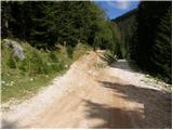 2
2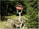 3
3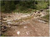 4
4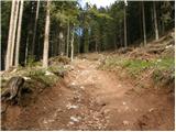 5
5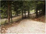 6
6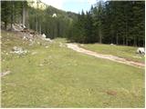 7
7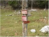 8
8 9
9 10
10 11
11 12
12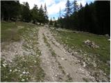 13
13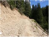 14
14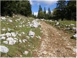 15
15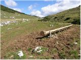 16
16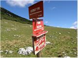 17
17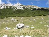 18
18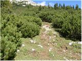 19
19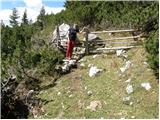 20
20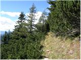 21
21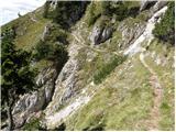 22
22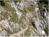 23
23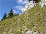 24
24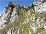 25
25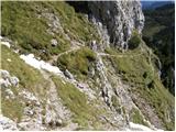 26
26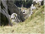 27
27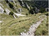 28
28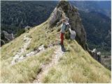 29
29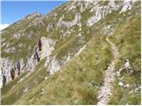 30
30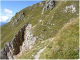 31
31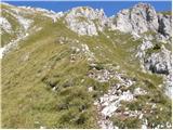 32
32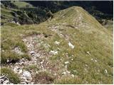 33
33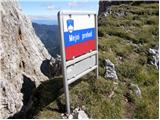 34
34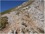 35
35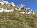 36
36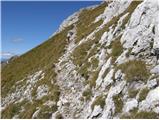 37
37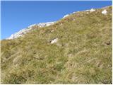 38
38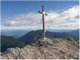 39
39