Starting point: Pod Krnico (1250 m)
Starting point Lat/Lon: 46.4346°N 14.4083°E 
Time of walking: 1 h 15 min
Difficulty: easy unmarked way
Difficulty of skiing: easily
Altitude difference: 490 m
Altitude difference (by path): 490 m
Map: Karavanke - osrednji del 1:50.000
Access to starting point:
From the highway Ljubljana - Jesenice we go to the exit Ljubelj. From this road before the gas station, we turn right to Tržič. The road then quickly brings us to Tržič, and we follow it further in the direction of the villages Jelendol and Medvodje. In the village Medvodje we turn left towards Košuta on the forest road which we follow to the crossroads at Košutnik (house) approximately at 1000 m. Here we go right and drive to the parking lot at a smaller quarry.
Path description:
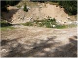
From the parking lot, we go on a cart track which branches off left from the road. The cart track goes into the forest and ascends moderately, first crossing a smaller and then a larger stream. The cart track, which has some shortcuts, makes some turns and after a good 15 minutes brings us to the pastures of the mountain pasture Spodnja Dolga njiva.
After a short walk on the mountain pasture, the path brings us to a junction, where there are signposts. We go right in the direction of the path Košutnikov turn eastern approach. A gently sloping path brings us after a few dozen steps of walking to the shepherd's hut on the mountain pasture Spodnja Dolga njiva.
Further, we continue upwards on the mountain pasture, in the middle of which runs a wide cart track, which after a good 15 minutes of walking brings us out of the forest onto the mountain pasture Zgornja Dolga njiva.
The steepness of the path, which was moderate until now, eases and the path soon brings us through nice grassy terrain to the central part of the mountain pasture, where the blazes end. We continue on a slightly ascending path which runs along a smaller but very distinct gully. A little further ahead the unmarked path splits into two parts.
We continue slightly right (left Tolsta Košuta) on the path which a little further ascends to the border ridge. The ridge a little further turns left, and the path first descends from the forepeak, then brings us along and on the ridge in a few minutes of scenic walking to the summit of Mala Košuta.
Orientation is difficult in the fog.
Starting point - Spodnja Dolga njiva 20 minutes, Spodnja Dolga njiva - Zgornja Dolga njiva 25 minutes, Zgornja Dolga njiva - Mala Košuta 30 minutes.
Pictures:
 1
1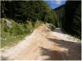 2
2 3
3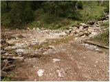 4
4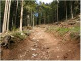 5
5 6
6 7
7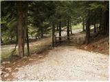 8
8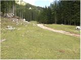 9
9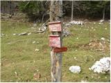 10
10 11
11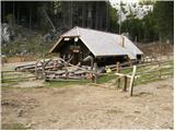 12
12 13
13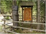 14
14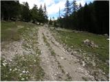 15
15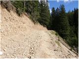 16
16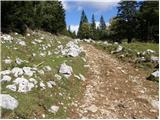 17
17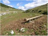 18
18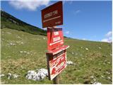 19
19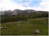 20
20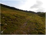 21
21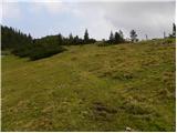 22
22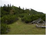 23
23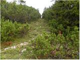 24
24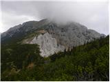 25
25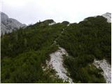 26
26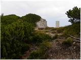 27
27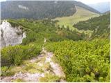 28
28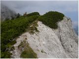 29
29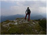 30
30