Pod Peco/Koprein-Petzen - Topitza
Starting point: Pod Peco/Koprein-Petzen (1280 m)
Starting point Lat/Lon: 46.5072°N 14.6961°E 
Time of walking: 1 h 15 min
Difficulty: easy marked way
Difficulty of skiing: no data
Altitude difference: 369 m
Altitude difference (by path): 369 m
Map: Kamniške in Savinjske Alpe 1:50.000
Access to starting point:
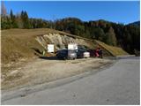
Over the border crossing Jezersko or Pavličevo sedlo we drive to Železna Kapla, and there in the beginning of the settlement, we notice signs for Lepena / Leppen, which point us to the right. The mentioned road then through the mentioned village brings us to the village Pod Peca / Koprein-Petzen, where it starts ascending steeper. The road higher flattens and it brings us to the inn Riepl, where we park on a parking lot by information boards.
Path description:
From the parking lot, we at first descend few steps on an asphalt road, and then we go on a macadam road in the direction of Topica. The road at first gently ascends on a panoramic grassy slope, and then it passes into the forest, where after few minutes of walking signs point us to the right on a footpath. The path ahead continues through dense conifer forest on the path which is covered with numerous needles and so it offers a pleasant soft walking. A little higher, the path flattens and it brings us on a larger clearing, where we notice feeding a site for animals. Only few 10 strides ahead, we leave a wide cart track and we continue the ascent on a marked hiking path which starts moderately ascending by the edge of the forest. Higher, the path brings us on a ridge, where it turns to the left and entirely flattens. The path ahead leads us past the hunting observatory and it continues by the ridge, on a relatively new clearing. After few minutes of easy walking path turns to the right and it starts steeply ascending by the edge of very steep western slopes of Topica. Higher, the path slightly flattens and passes on partly unvegetated slopes, from which a nice view is opening up mainly towards the south. During the ascent on the mentioned slope we will notice a salt lick, and the path only a little above it turns to the left. Next follows few minutes of gentle ascent towards the left and the path brings us to a crossing, where the path from the valley of the stream Lobnik joins. Here we continue right and after few minutes of additional walking, we step on the summit of Topica.
Pictures:
 1
1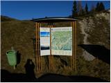 2
2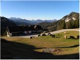 3
3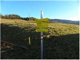 4
4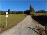 5
5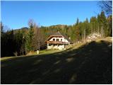 6
6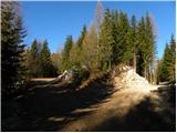 7
7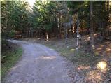 8
8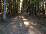 9
9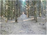 10
10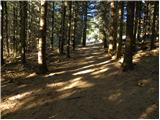 11
11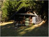 12
12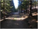 13
13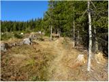 14
14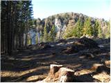 15
15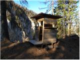 16
16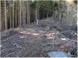 17
17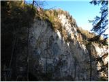 18
18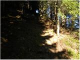 19
19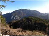 20
20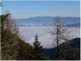 21
21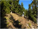 22
22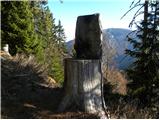 23
23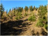 24
24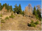 25
25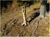 26
26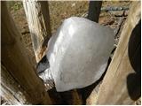 27
27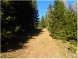 28
28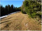 29
29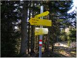 30
30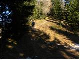 31
31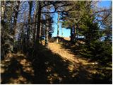 32
32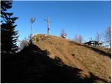 33
33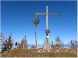 34
34 35
35