Podčetrtek (sveti Lovrenc) - Plešivec (Rudnica)
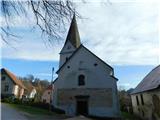
Starting point: Podčetrtek (sveti Lovrenc) (228 m)
Starting point Lat/Lon: 46.15762°N 15.59366°E 
Time of walking: 1 h 50 min
Difficulty: easy marked way
Difficulty of skiing: no data
Altitude difference: 458 m
Altitude difference (by path): 510 m
Map:
Access to starting point:
From the road Šentjur - Rogaška Slatina, between the settlements Šmarje pri Jelšah and Mestinje, we turn right (from the direction of Rogaška Slatina, left) towards Podčetrtek. We continue following the road towards Podčetrtek, and once in Podčetrtek, we follow the road to the parking lot for the church of St. Lovrenc, located at the upper edge of the settlement.
Path description:
From the parking lot, across the bridge, we cross the stream Župnijski jarek, then continue right towards the castle Podčetrtek and the Tower of Health and Joy. The path leads through the gorge of the stream Župnijski jarek, where we ascend along the macadam road. After about 15 minutes of walking, we reach a marked crossing, from which we continue straight (right to the castle Podčetrtek, 5 minutes), and a few minutes higher, we arrive at the next crossroad.
Here, we turn left and then immediately right onto a marked cart track towards the Tower of Health and Joy. We continue along the cart track, which begins to ascend more noticeably a bit further on, leading us higher to the next macadam road, which we follow to the left, quickly reaching the next crossing, where we take the right ascending road.
When the road turns right a little further at Branski zob, we turn left onto a footpath, continuing along it for some time. When we return to the road, we turn left to a nearby marked crossing, from which we head towards the harder path to the tower (the path is not technically demanding).
We continue straight along the macadam road (right to an easier path), which turns right a bit further, then quickly leads to a spot where the harder path branches off to the right towards the Tower of Health and Joy on Silavec, but we continue along the road, which brings us a few minutes later to a saddle west of Silavec, where we join the path from the settlement Spodnje Tinsko.
From the crossing, we continue straight (right Spodnje Tinsko) and for a few minutes continue gently ascending on the macadam road. When the road becomes asphalt, we begin to moderately descend. At the start of the descent, a beautiful view opens towards Žusem, where the tower Stolp Ljubezni stands, and we continue along the asphalt road. The road then flattens and loses its asphalt surface, and we arrive at a small crossroad, from which we continue straight onto a footpath (left Koča pri Čarovnici).
We continue along a gently sloping path through the forest, and a little further, the path from Koča pri Čarovnici joins from the left.
Here we go right, and a few steps further, turn left following the signs for Plešivec.
The path ahead leads us along a macadam road, which splits a few minutes further.
We choose the slightly right path (slightly left the lake on Olimska gora) and continue on the road to a smaller saddle, where we go left (right a short unmarked path to Lendrše).
The path ahead leads us for a short time along a cart track, then starts ascending steeply through a slightly overgrown clearing, from which a beautiful view opens up. When we return to the forest higher up, the path flattens, and we quickly reach a crossing, where we join the path from Olimje.
Here we go right and in two minutes of further walking, we reach Plešivec, the highest peak of Rudnica.
Description and pictures refer to the condition in December 2023 and April 2024.
Pictures:
 1
1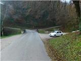 2
2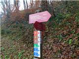 3
3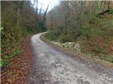 4
4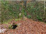 5
5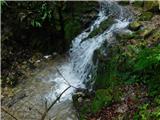 6
6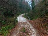 7
7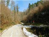 8
8 9
9 10
10 11
11 12
12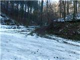 13
13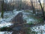 14
14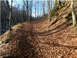 15
15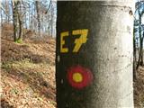 16
16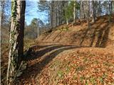 17
17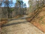 18
18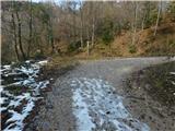 19
19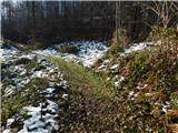 20
20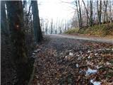 21
21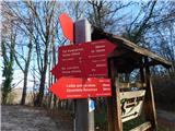 22
22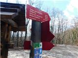 23
23 24
24 25
25 26
26 27
27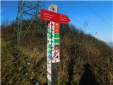 28
28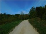 29
29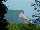 30
30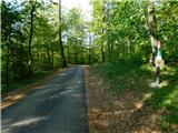 31
31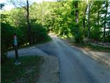 32
32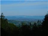 33
33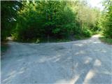 34
34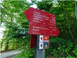 35
35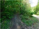 36
36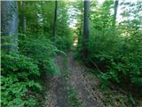 37
37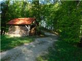 38
38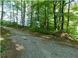 39
39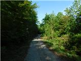 40
40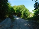 41
41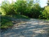 42
42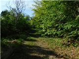 43
43 44
44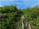 45
45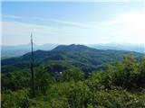 46
46 47
47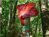 48
48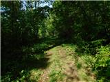 49
49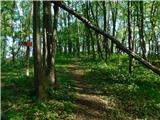 50
50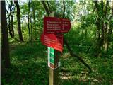 51
51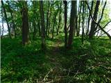 52
52 53
53