Podgora - Grmada on Mala gora
Starting point: Podgora (438 m)
Starting point Lat/Lon: 45.828°N 14.7014°E 
Time of walking: 1 h 20 min
Difficulty: easy marked way
Difficulty of skiing: no data
Altitude difference: 449 m
Altitude difference (by path): 455 m
Map:
Access to starting point:
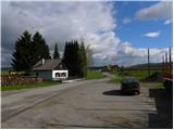
A) From the Ljubljana - Novo Mesto highway we take the Grosuplje exit (from the Ljubljana direction also possible the Cikava exit), then we continue driving towards the center of Grosuplje. From Grosuplje we continue driving in the direction of Veliko Mlačevo, Mala and Velika Račna and Videm. From Veliko Mlačevo we continue right (straight Lobček and Luče), then we continue driving towards Videm. In Videm we join the road from Rašica, we follow it left (towards the south) and drive to the turn-off of the road towards the village Podgora, which is situated by the edge of the Dobrepolje plain. To the mentioned village we come after a few 100 meters of additional driving, our path starts near the church. We park at the beginning of the village on an appropriate place by the road, so that we don't hinder the locals' work.
B) From the road Ljubljana - Kočevje at the settlement Rašica we turn left (from the Kočevje direction right) in the direction of Ponikve, Predstrug and Videm. When we arrive in Predstrug we reach the Dobrepoljska valley, we drive through it through Videm to the turn-off of the road towards Podgora. To the mentioned village we come after a few 100 meters of additional driving, our path starts near the church. We park at the beginning of the village on an appropriate place by the road, so that we don't hinder the locals' work.
Path description:
From the spot where we have parked we first walk to the church, from there we continue on an initially wide cart track which passes into the forest. For a few minutes we ascend on the cart track, then an arrow on a tree directs us left onto an old and steeper track. During the ascent we carefully follow the blazes, the path higher returns to a wider cart track. A little further we cross a macadam road, just a few meters higher we reach another road, which we follow to the left (at this spot we leave the marked path which leads to Kamni vrh).
We continue the path on the macadam road, which gently to moderately ascends towards the left, higher it temporarily turns sharply right and brings us to a crossroads.
From the crossroads we continue on the left road (the right road leads towards Kamen vrh), which continues to ascend diagonally through the forest. Higher the path temporarily leads us across a panoramic slope, from where a beautiful view opens towards Dobrepolje and Suha krajina. In the continuation the road returns to the forest, we walk along it to a smaller left bend, where we reach another marked path which leads towards the top of Grmada.
At the mentioned spot we leave the road and continue the ascent on the marked or parallel better-trodden unmarked path. Both paths join after a few minutes of ascent and bring us to the Koča na Grmadi nad Ortnekom, from which a beautiful view opens.
The peak of Grmada is located a few 10 steps further.
Pictures:
 1
1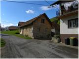 2
2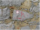 3
3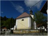 4
4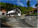 5
5 6
6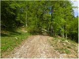 7
7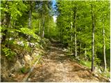 8
8 9
9 10
10 11
11 12
12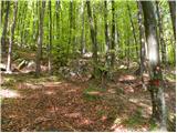 13
13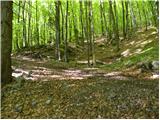 14
14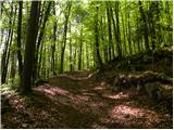 15
15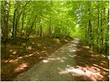 16
16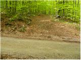 17
17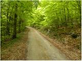 18
18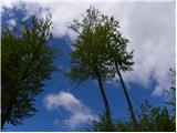 19
19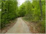 20
20 21
21 22
22 23
23 24
24 25
25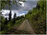 26
26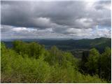 27
27 28
28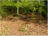 29
29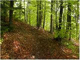 30
30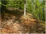 31
31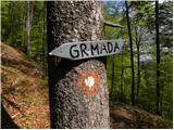 32
32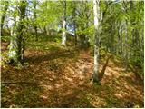 33
33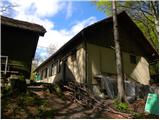 34
34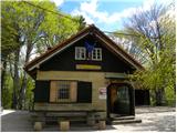 35
35 36
36