Podkorita - Kosmati vrh (Ratitovec)
Starting point: Podkorita (500 m)
Starting point Lat/Lon: 46.2839°N 14.0282°E 
Time of walking: 3 h 50 min
Difficulty: easy unmarked way, easy marked way
Difficulty of skiing: no data
Altitude difference: 1143 m
Altitude difference (by path): 1175 m
Map: Škofjeloško in Cerkljansko hribovje 1:50.000
Access to starting point:
From the highway Ljubljana - Jesenice we take the exit Lesce, and then we continue driving towards Bled and Bohinjska Bistrica. When we arrive in the municipality of Bohinj, we slowly pay attention to the left turn-off. Just before the main road crosses the bridge over the river Sava Bohinjka, we continue slightly left onto a macadam road which runs parallel to the river. From the main road, we drive on the macadam road for another 2100 m and then park at a suitable spot beside the road.
Path description:
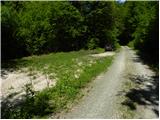
From the starting point we continue on the macadam road, which already immediately leads us over two successive streams and a smaller wooden cottage, which we notice on the left side. A little further ahead, or right after the small bridge, we arrive at a small junction where a short road branches off to the left towards the nearby apiary. We continue towards the apiary (straight to waterfall Grmečica and Nomenj, the right road ends on the nearby meadows) and behind it straight into a belt of bushes, where we first notice a faint path which only a few meters higher becomes more distinct. The path ahead leads us over a short scree slope, where it turns right and transitions to an old cart track. Continuing, we ascend along the cart track, and at two less noticeable junctions we follow it to the right. The cart track then veers slightly right and brings us to a small valley where it almost completely disappears. We continue a few steps through the valley or a kind of wide gully, then the path leads us left onto the slopes where the cart track becomes distinct again. A little higher we cross a forest road, and above it the path first ascends through a belt of bushes, then enters the forest through which it begins to ascend more steeply. Higher up there are again a few almost imperceptible junctions, and we follow the "main" path which higher brings us onto a more rocky cart track partly overgrown with tall grass. Here we continue left and then after a few meters, upon reaching a small valley, right onto a gentle cart track along which we ascend to the nearby macadam road. We follow the road to the right, and then after some 10 meters at a small right bend, slightly left onto the cart track along which we ascend to the lower part of Bitenjska planina. When we step out of the forest we continue slightly left, and after a short ascent we already see the first huts on the pasture, to which we walk across an increasingly panoramic meadow.
Above the pasture we step onto an asphalt road which we follow to the right (left to Železniki), walking along it to the nearby junction where we notice the first signs for Ratitovec.
We continue left onto the road towards Ratitovec, and initially the still asphalted road quickly takes us into dense forest. We walk along the mentioned road for about 10 minutes, then the markers direct us slightly left onto a marked footpath that continues along a grassy cart track alongside the Bitenjski graben stream. Higher we return to the road, reaching it right at a small junction. We continue along the upper right road, quickly arriving at Ribčeva planina.
From Ribčeva planina we continue along the road, which a bit higher brings us to a junction where we go right. From the junction we walk along the road for about 2 minutes, then the signs for the footpath to Ratitovec direct us left onto a marked cart track which higher turns into a somewhat steeper mountain path that soon crosses a forest road and levels out behind it. On the other side of the road we continue along the cart track but soon leave it as the markers direct us right onto a forest path which initially ascends moderately then gradually descends to the nearby forest road which we follow left. We continue the ascent along the road, walking along it in a few minutes to its end where there is a large parking lot and turning area.
From the parking lot we continue along a wide cart track which begins to ascend relatively steeply through the forest. After about 10 minutes of walking the cart track levels out, then shortly after brings us to the huts on Pečana pasture.
Above the huts on Pečana pasture we step out of the forest and the path quickly takes us to a small junction where we continue straight towards Vratca (right to Krekova koča na Ratitovcu). Further we gently ascend along the right edge of a grassy valley, and the increasingly panoramic path quickly brings us to a marked junction at Vratica.
Here the path to planina Klom branches left, and right towards Gladki vrh and further to Krekova koča. We continue straight and then after a few meters slightly left towards Kosmati vrh (straight down to krnica Razor and Prtovč). The path ahead becomes less trodden and harder to follow in places. A short descent follows, then the path brings us to the edge of cliffs where it resumes moderately to occasionally steeply ascending. Higher the path moves slightly left from the ridge and brings us from the forest onto the panoramic summit slope of Kosmati vrh where the trail completely disappears. From here only a short ascent remains and the almost pathless terrain brings us to the summit in a few steps.
Pictures:
 1
1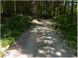 2
2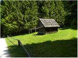 3
3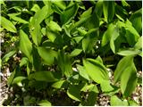 4
4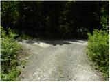 5
5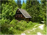 6
6 7
7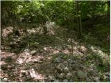 8
8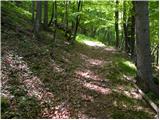 9
9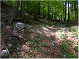 10
10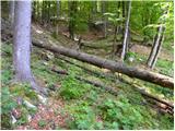 11
11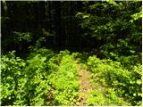 12
12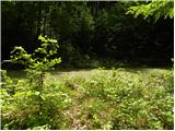 13
13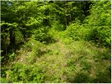 14
14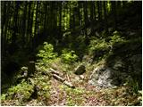 15
15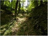 16
16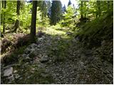 17
17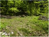 18
18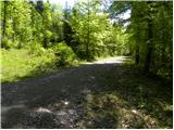 19
19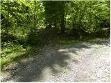 20
20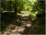 21
21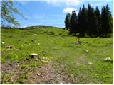 22
22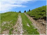 23
23 24
24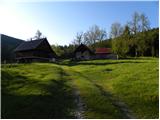 25
25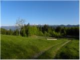 26
26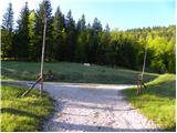 27
27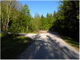 28
28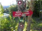 29
29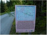 30
30 31
31 32
32 33
33 34
34 35
35 36
36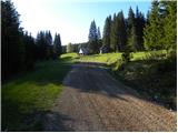 37
37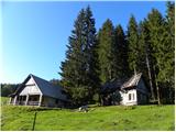 38
38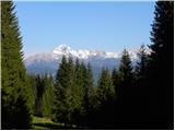 39
39 40
40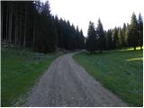 41
41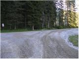 42
42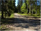 43
43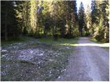 44
44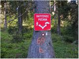 45
45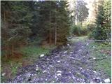 46
46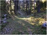 47
47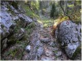 48
48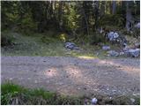 49
49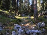 50
50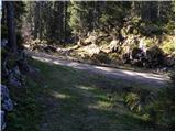 51
51 52
52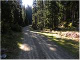 53
53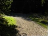 54
54 55
55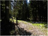 56
56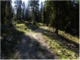 57
57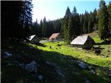 58
58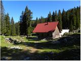 59
59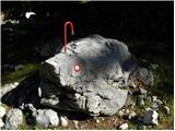 60
60 61
61 62
62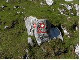 63
63 64
64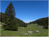 65
65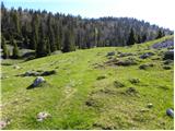 66
66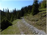 67
67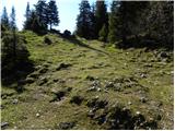 68
68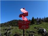 69
69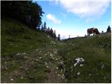 70
70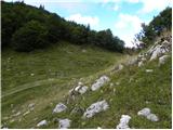 71
71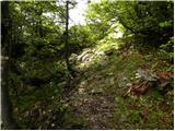 72
72 73
73 74
74 75
75 76
76 77
77 78
78 79
79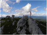 80
80