Podkraj - Sveti Duh (Hrušica)
Starting point: Podkraj (798 m)
Starting point Lat/Lon: 45.8639°N 14.063°E 
Time of walking: 1 h 15 min
Difficulty: easy marked way
Difficulty of skiing: easily
Altitude difference: 423 m
Altitude difference (by path): 423 m
Map: Nanos 1:50.000
Access to starting point:
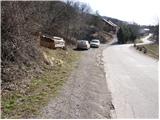
From Logatec we drive towards Idrija. Only a little after the village Kalce we will notice a road which goes left in the direction of village Podkraj and Col. We go on this quite winding road and we follow it to the village Podkraj. We park on a smaller parking lot by the road right next to sign for the end of the village Podkraj (by parking lot are also hiking signposts).
From Primorska we at first drive to Col, and then we continue driving in the direction of village Podkraj. When the road brings us to the beginning of the village we don't continue right in the village, but we continue on the left upper road which bypasses the center of the village. Near the sign for the beginning Podkraj we park on a smaller parking lot by the road.
Path description:
From the starting point, we go on an ascending cart track in the direction of Sveti Duh and Javornik. Cart track already after few steps turns to the right and then it is ascending diagonally through a grassy slope. Higher, we pass into a short lane of a forest, after which the path brings us to a marked crossing.
We continue left (right Javornik) on a gently sloping path, which crosses slopes towards Križna gora, which we clearly see in front of us. A well-marked path continues on a cart track, from which soon for a short time pretty steep path branches off to the right. Higher, the path passes into the forest, where it is ascending diagonally towards the northwest. When we step out of the forest, the path turns a little more to the right and with the help of steel cables (undemanding) brings us to the next crossing.
We continue straight upwards in the direction of Sveti Duh (not left in the direction of Križna gora) on the path which for a short time steeply ascends, and then leads in the forest, where it flattens. After few minutes of additional walking, the path brings us to a marked crossing, where we continue sharply right (left Križna gora) on a cart track which in a diagonal ascent and moderate steepness after 10 minutes of additional walking brings us to the church of the Holy Spirit.
Pictures:
 1
1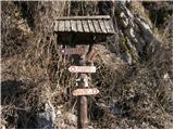 2
2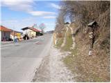 3
3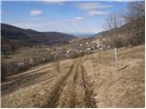 4
4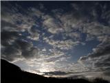 5
5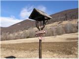 6
6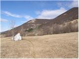 7
7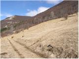 8
8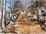 9
9 10
10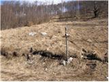 11
11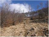 12
12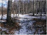 13
13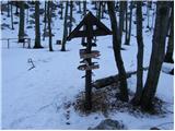 14
14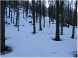 15
15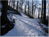 16
16 17
17 18
18