Starting point: Podlanišče (787 m)
Starting point Lat/Lon: 46.1104°N 14.0133°E 
Time of walking: 1 h 10 min
Difficulty: easy marked way
Difficulty of skiing: no data
Altitude difference: 186 m
Altitude difference (by path): 230 m
Map: Škofjeloško in Cerkljansko hribovje 1:50.000
Access to starting point:
A) First, we drive to Škofja Loka, and then we continue driving towards Gorenja vas and forward towards Hotavlje and Sovodenj. From Sovodenj we continue driving on a zig zag road towards Cerkno, and we follow it only to mountain pass Kladje 787 meters, by which we park on an appropriate place by the mountain pass.
B) From the road Idrija - Tolmin we drive to Cerkno, and from there we continue driving in the direction of Škofja Loka. Further, we drive through Planina pri Cerknem, and we follow quite winding road to mountain pass Kladje, by which we park on an appropriate place by the road.
Path description:
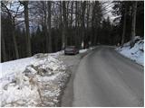
From the saddle Kladje on Podlanišče we continue on the asphalt road in the direction of Ermanovec, Slajka and Škofje. At first, we ascend past few houses, and then signs for Škofje point us to the left (straight Ermanovec) on a macadam road which starts gently descending. We continue on a narrower macadam road, or a cart track which few times slightly ascends, otherwise it is mostly slightly to moderately descending. After approximately 20 minutes of walking from the starting point, we come on an asphalt road, on which we in few steps descend to the nearby crossroad, and from there we continue on the right ascending road. We ascend on the road to the nearby saddle, from which a nice view opens up on Blegoš, and from there we continue left in the direction of Škofje (right - Ermanovec).
We continue on a gentle cart track which crosses a lane of a forest and then without large changes in altitude in few minutes brings us to the next marked crossing. At the crossing, we only cross an asphalt road (left downwards - Cerkno and hospital Franja) and we continue on a shorter grassy slope into the forest (we continue on a footpath and not on the nearby cart track). Further, we are ascending by the edge of the forest, and the path leads us just by the wide grassy slope of Škofje. Higher, the path brings us out of the forest on a panoramic grassy ridge, where it turns to the right and then it is ascending on a more and more panoramic ridge. Next follows a gentle and very panoramic walk on a grassy ridge (a nice view towards Kojca and Porezen), and then the path passes into the forest and after few minutes of additional walking brings us to the summit of Škofje.
Pictures:
 1
1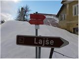 2
2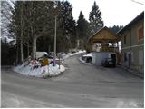 3
3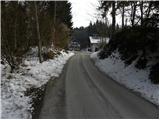 4
4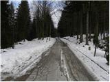 5
5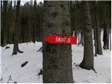 6
6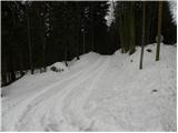 7
7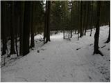 8
8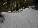 9
9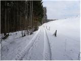 10
10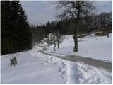 11
11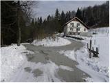 12
12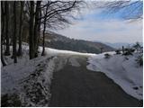 13
13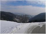 14
14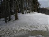 15
15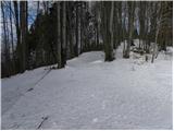 16
16 17
17 18
18 19
19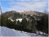 20
20 21
21 22
22 23
23 24
24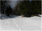 25
25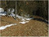 26
26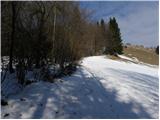 27
27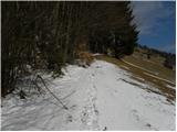 28
28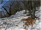 29
29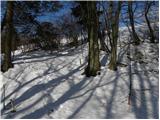 30
30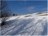 31
31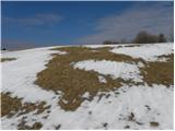 32
32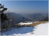 33
33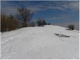 34
34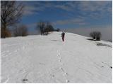 35
35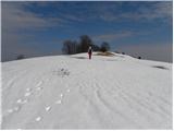 36
36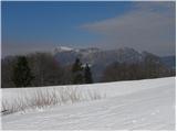 37
37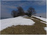 38
38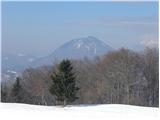 39
39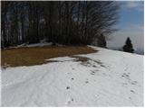 40
40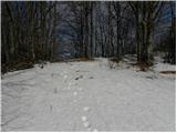 41
41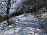 42
42 43
43