Podljubelj - Robič (via Zavetišče na Kalu)
Starting point: Podljubelj (658 m)
Starting point Lat/Lon: 46.3979°N 14.2876°E 
Path name: via Zavetišče na Kalu
Time of walking: 2 h 15 min
Difficulty: easy unmarked way
Difficulty of skiing: no data
Altitude difference: 726 m
Altitude difference (by path): 755 m
Map: Karavanke - osrednji del 1:50.000
Access to starting point:
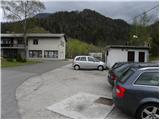
From highway Ljubljana - Jesenice, we go to the exit Podtabor (Tržič, Ljubelj), and then we continue driving towards Ljubelj. After approximately 6 km of driving from gas station at Bistrica pri Tržiču, we leave the main road, because signs for Podljubelj point us to the right on a local road. Only a little further, we get to the next crossroad, where we continue right and then after few 10 meters we park on an appropriate place in the middle of the village.
Path description:
From the starting point, we walk to primary school in Podljubelj, there at the crossroad we continue left in the direction of Kal and Kofce. The path at first runs on an asphalt road which is moderately ascending by the stream Jezernica. When few minutes higher, the road makes a longer right turn, we leave it and we continue slightly left on a wide and marked cart track. Cart track or worse road little higher at decaying house ends, and we continue on a worse cart track which passes into the forest. A short time we are still ascending on the right side of the stream and then we cross it and we pass on the left side. A little further, we get to other stream, by which we ascend to the near homestead. We bypass the house on the right side and immediately after it we go left. Some meters higher blazes point us to the right on a grassy slope, by the edge of which we ascend to the near wooden cottage. Here the path turns slightly left and a little ahead crosses a grazing fence. For some time poorly visible footpath continues through the pasture straight upwards, and when we leave the pasture it passes into the forest and a little higher crosses a cart track. We continue straight past a bigger rock and we continue the ascent in the direction of Kal. The path continues through a small valley and occasionally it also steeply ascends. Higher, we reach the cart track, on which we quickly step out of the forest and there ascend to the nearby cottage Zavetišče na Kalu.
From the cottage, we continue on a macadam road, where we quickly get to a marked crossing, where "direct" path towards Dom na Kofcah branches off to the left, and we go straight and we still continue on a macadam road. Next follows a diagonal ascent on the macadam road, from which occasionally a nice view opens up on Kamnik Savinja Alps, and marked path past the chapel towards the mountain pasture Kofce then from the road turns left uphill, and we follow the road to the nearby crossroad.
From the crossroad, we continue right (sharply left, we can get to Kofce) and we gradually start descending, and the road lower passes into a dense forest, where we reach also a crossroad of the macadam roads.
We continue straight on a worse cart track which continues between the both roads, and it soon becomes quite steep. During the ascent on a cart track when we look back a nice view opens up on the western peaks of Košuta, and higher the path turns left and in few minutes brings us on a ridge, where it turns right and changes into a worse footpath. Only a little further, we step out of the forest on a smaller clearing, where we reach the secondary peak, and from the secondary peak we continue for approximately 2 minutes on a worse footpath which brings us on a panoramic peak.
Podljubelj - Zavetišče na Kalu 1:20, Zavetišče na Kalu - Robič 0:55.
Description refers to condition in October 2019, and pictures are from various periods.
On the way: Zavetišče na Kalu (1112m)
Pictures:
 1
1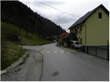 2
2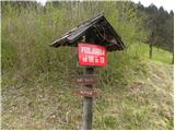 3
3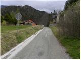 4
4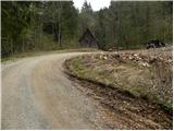 5
5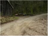 6
6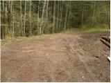 7
7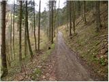 8
8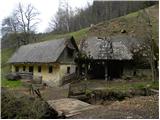 9
9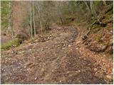 10
10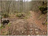 11
11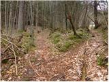 12
12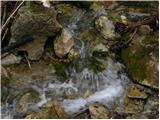 13
13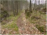 14
14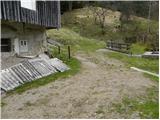 15
15 16
16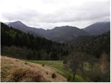 17
17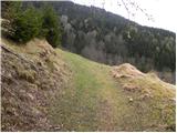 18
18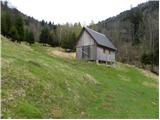 19
19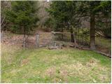 20
20 21
21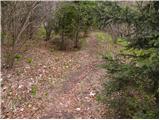 22
22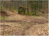 23
23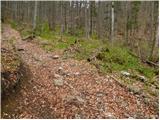 24
24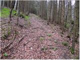 25
25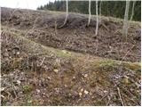 26
26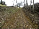 27
27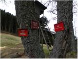 28
28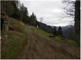 29
29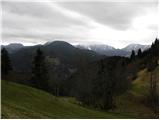 30
30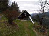 31
31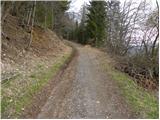 32
32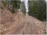 33
33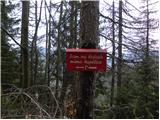 34
34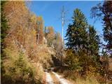 35
35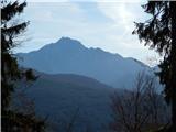 36
36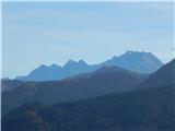 37
37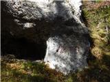 38
38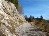 39
39 40
40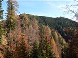 41
41 42
42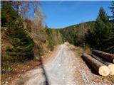 43
43 44
44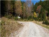 45
45 46
46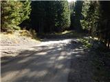 47
47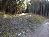 48
48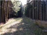 49
49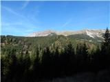 50
50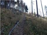 51
51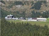 52
52 53
53 54
54 55
55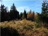 56
56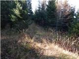 57
57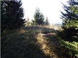 58
58 59
59