Podljubelj - Waterfall Tominčev slap
Starting point: Podljubelj (678 m)
Starting point Lat/Lon: 46.3966°N 14.2714°E 
Time of walking: 10 min
Difficulty: easy marked way
Difficulty of skiing: easily
Altitude difference: 72 m
Altitude difference (by path): 72 m
Map: Karavanke - osrednji del 1:50.000
Access to starting point:
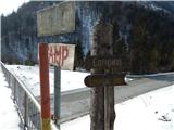
We leave the Gorenjska motorway at the Podtabor junction, and then continue driving towards the Ljubelj border crossing. Still before Ljubelj, we turn right into Podljubelj (at the crossroads there are also signs for Camp Podljubelj and Tominčev slap waterfall), and at the first crossroads after a few metres we go left. We continue through Podljubelj, driving parallel to the main road. About 100 metres before Bistro Školjka, signs for the camp and waterfall direct us left over the overpass across the main road. We park at a suitable spot nearby.
Path description:
From the starting point, we follow the signs for Tominčev slap waterfall and Camp Podljubelj. We soon arrive at a smaller crossroads, where we continue straight ahead (left to the camp), then the road ascends slightly and leads us past a few more houses. After the houses the valley narrows, and the road brings us in a few minutes to the left hairpin bend, where we leave it and continue straight on a well-beaten path leading towards the Tominčev slap waterfall. After approximately 2 minutes of walking along the stream, we arrive at the waterfall.
Description and pictures refer to the condition in 2018 (February).
Pictures:
 1
1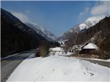 2
2 3
3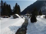 4
4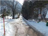 5
5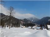 6
6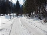 7
7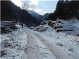 8
8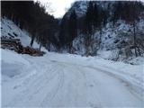 9
9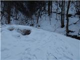 10
10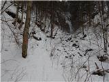 11
11 12
12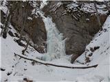 13
13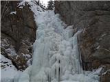 14
14