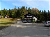
Starting point: Podmeja (724 m)
Starting point Lat/Lon: 46.1861°N 15.0618°E 
Time of walking: 1 h 15 min
Difficulty: easy marked way
Difficulty of skiing: easily
Altitude difference: 398 m
Altitude difference (by path): 415 m
Map:
Access to starting point:
From highway Ljubljana - Celje we go to the exit Šempeter and we continue driving towards Prebold and later Trbovlje. We then follow zig zag road to mountain pass Podmeja, where on a parking lot near the hunting lodge we also park.
From Zasavje we at first drive to Trbovlje, and then we continue driving towards Prebold. When we come to mountain pass Podmeja, we park on a parking lot near the hunting lodge.
Path description:
From the mountain pass Podmeja we at first walk to the hunting lodge, here we will on the left side notice signposts for Mrzlica, which point us to the right into the forest. The path which moderately ascends quickly brings us on an indistinct peak Svinski vrh (766 meters), from which path gradually starts descending. After few minutes of descent, we step out of the forest and the path brings us on the road which leads towards Mrzlica. We follow the mentioned road to the right, and past a hamlet with few houses it brings us into the forest, where it is then moderately ascending. Higher, the road flattens and it brings us out of the forest on panoramic grassy slopes, from which a nice view opens up on peaks, which surround the valley Savinjska dolina. Here from the left almost unnoticeably joins the path from the valley (Marija Reka), and we continue on the road, all the way to a marked crossing, where we have two options to continue:
If we want to first go to the summit of Mrzlica and then to the mountain hut, we continue slightly right (otherwise we continue straight on a moderately steep macadam road) on a quite steep path, which after good 10 minutes flattens and brings us out of the forest on a larger grassy clearing, where the path branches off to the right, which leads to the near vantage point "K Skalci". Here we continue left (turn-off for the peak isn't marked) and in few minutes of additional walking, we step on the summit of Mrzlica.
From the top then in less than 5 minutes we descend to the mountain hut on Mrzlica.
Pictures:
 1
1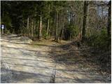 2
2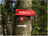 3
3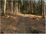 4
4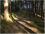 5
5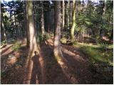 6
6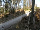 7
7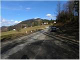 8
8 9
9 10
10 11
11 12
12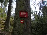 13
13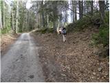 14
14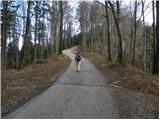 15
15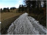 16
16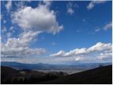 17
17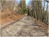 18
18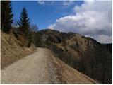 19
19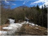 20
20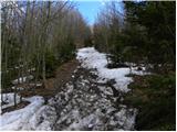 21
21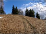 22
22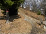 23
23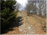 24
24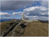 25
25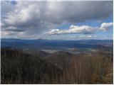 26
26 27
27