Podmežakla (Jesenice) - Škrbina (Mežakla) (along the power line)
Starting point: Podmežakla (Jesenice) (580 m)
Path name: along the power line
Time of walking: 1 h 40 min
Difficulty: difficult pathless terrain
Difficulty of skiing: very demanding
Altitude difference: 630 m
Altitude difference (by path): 630 m
Map: Karavanke - osrednji del 1:50.000
Access to starting point:
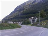
From the highway Ljubljana - Jesenice, we take the Lipce exit, where we turn right and drive to Jesenice. In the center of the town, we follow the signposts for Podmežakla. When we drive through the underpass, we turn left and continue driving on the main road for another few hundred meters, after which we notice by the road the sign with the inscription "Muzejsko območje Stara Sava". Immediately thereafter follows an intersection, where we turn right towards the residential block (left is the bridge over the Sava). Here we park in a suitable spot.
Path description:
From the parking lot, we look straight towards Mežakla, and notice a smaller footpath that ascends only a few meters in the same direction. We step onto it and ascend to a plain, where there is macadam or cart track. Here we continue left, and the path quickly brings us below the lower highway viaduct. On the other side of the highway, we can now on the left notice a more or less overgrown route (clearing) of the former electric power line, which ascends towards the top of Mežakla.
About 30 meters higher, we join it and thus begin to ascend an increasingly steep slope. There is no path here, so we can only imaginatively envision it among rocks, stones, and bushes.
The route or our path at least once crosses a poorer cart track and continues steeply ascending all the way. After approximately 30 minutes of walking, the steepness eases for a short time, but soon the terrain steeply rises again. When we get the feeling that the steepness is easing for the second time, we are near a difficult and very steep scree.
Some strenuous walking or searching for suitable passages over stones and debris, among rocks and rare bushes awaits us, until we find ourselves below the cliffs, the tops of which we can observe with the television transmitter.
The terrain becomes increasingly steep, and we gradually turn somewhat left into the forest, where we encounter stair-like landslide barriers or terrain slide retainers, under which a new cable is laid. Here we can assist ourselves by gripping steel rods. When we have already ascended right below Škrbina (50 m), we can notice that the terrain in intervals (every 2 m) between the so-called "stairs" is reinforced with concrete mass. However, caution! The concrete base is not suitable for walking, as its surface crumbles (slips). Due to the increasingly severe steepness and lack of grip, and too large a gap between the stairs, approximately 25 m before the summit we head left onto a very steep slope covered with grass and rare bushes, up which we carefully clamber to the top of Škrbina (the part of the old steel cable offered here does not provide reliable grip).
At the top of Škrbina, we head right onto the marked path, which after a short time brings us to the TV transmitter, where there is a viewpoint or our goal.
Descent recommended via the usual path over Zakop.
Pictures:
 1
1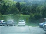 2
2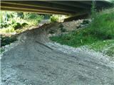 3
3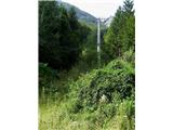 4
4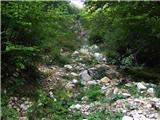 5
5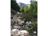 6
6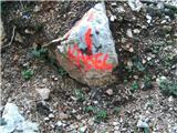 7
7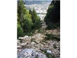 8
8 9
9 10
10 11
11 12
12 13
13 14
14 15
15 16
16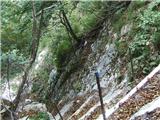 17
17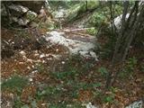 18
18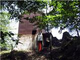 19
19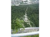 20
20