Podvolovljek (Petkov graben) - Bivak na Kalu
Starting point: Podvolovljek (Petkov graben) (715 m)
Starting point Lat/Lon: 46.3041°N 14.7026°E 
Time of walking: 2 h 30 min
Difficulty: easy unmarked way
Difficulty of skiing: no data
Altitude difference: 570 m
Altitude difference (by path): 585 m
Map: Kamniške in Savinjske Alpe 1:50.000
Access to starting point:
A) First, we drive to Kamnik, and then we continue driving in the direction of the Črnivec pass. Only a few hundred meters before the mentioned pass we notice signs for Kranjski Rak, which direct us sharply left onto a narrow and initially quite steep road. The road flattens out higher up and then brings us to the Volovljek pass, from where we begin descending towards Podvolovljek. After we cross Petkov graben, we will notice the 8 km road sign on the right, and on the left side of the road appropriate space for parking.
B) From Gornji Grad we drive towards Kamnik, then only a few hundred meters after the Črnivec pass we continue right in the direction of Kranjski Rak. Further, we follow the above description.
C) From Savinjska dolina we first drive to Luče, and then we continue driving towards Kamnik. When the road starts to ascend more steeply towards the Volovljek pass, we pay attention to the road signs. When we reach the 8 km road sign, we park in an appropriate place by the road.
Path description:
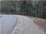
At the 8 km road sign a forest road branches off from the main road towards the east, on which we start our hike. First, we ascend diagonally along the road, which leads us along the slope of the hill Ker (895 m). On the section where the road makes a longer right bend, we temporarily get some views towards Raduha, Mali Rogatec and Kunšperski vrh. At some junctions or intersections we continue on the "main" road, from which beautiful views of the peaks of the Dleskovška planota open up more and more frequently. Higher up, at the intersection of two more "equivalent" roads, we continue left, and from the mentioned intersection we walk along the road to a smaller saddle between Mali Rogatec on the left and Kunšperski vrh on the right.
We continue on the road and follow it to its end. From the end of the road we continue on the upper path; the left lower path leads towards Podvolovljek, and next to it we can notice old blazes. This is followed by crossing a steeper slope, where some fixed safety gear assists us. After less than 5 minutes, when we reach the end of the other road, we notice slightly to the right the continuation of the path leading towards Bivak na Kalu. This is followed by an ascent through the forest, where we notice some old blazes; we follow the easy-to-follow but poorly maintained path all the way to Bivak na Kalu.
Description and pictures refer to the condition in 2015 (December).
Pictures:
 1
1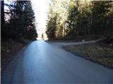 2
2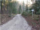 3
3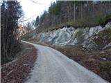 4
4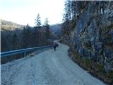 5
5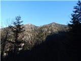 6
6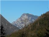 7
7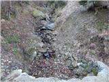 8
8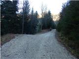 9
9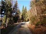 10
10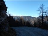 11
11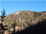 12
12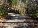 13
13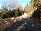 14
14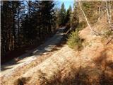 15
15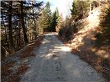 16
16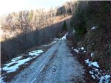 17
17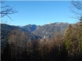 18
18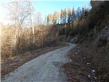 19
19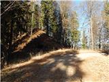 20
20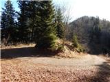 21
21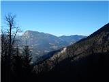 22
22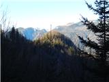 23
23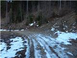 24
24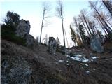 25
25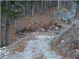 26
26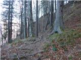 27
27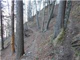 28
28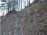 29
29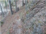 30
30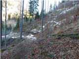 31
31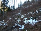 32
32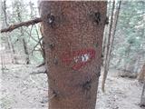 33
33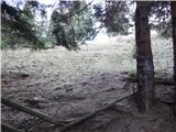 34
34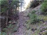 35
35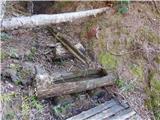 36
36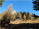 37
37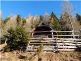 38
38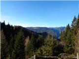 39
39