Poldov rovt (Vrata) - Dovški križ (via Brinje)
Starting point: Poldov rovt (Vrata) (941 m)
Starting point Lat/Lon: 46.4216°N 13.86289°E 
Path name: via Brinje
Time of walking: 5 h 45 min
Difficulty: very difficult unmarked way
Difficulty of skiing: very demanding
Altitude difference: 1601 m
Altitude difference (by path): 1601 m
Map: Triglav 1 : 25.000
Access to starting point:
We drive to Mojstrana, then follow the signs for the Vrata Valley. Continuing through the Vrata Valley, about 100 meters before the 10 km road sign, we will notice a cart track that branches off to the right perpendicular to the main road. Here is the beginning of the described path. The marked parking lot where parking is permitted is located approximately 500 meters further along the main road.
Path description:
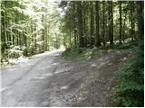
We head onto the cart track that leads into the forest and then past a small house, where we continue slightly to the left on the footpath. Through the forest we ascend slightly to the left towards the Rdeči potok. Just before the stream we come to a junction, where we turn right onto the path over Brinje. At the junction there is a cairn, and on the tree is carved some kind of face and the letter L. The path then starts to ascend steeply through the forest and then turns slightly to the right and gradually brings us to steep grassy slopes. In zigzags we then ascend for some time over steep slopes towards Brinova glava. At Brinova Glava (1571m) the path turns slightly to the left and the slopes become less steep again. Here a small path also branches off to the right leading to the summit of Brinova Glava. The path continues through increasingly sparse forest and occasionally we ascend on grassy slopes. Such a path then brings us to scree under the slopes of Kopice. Here we first ascend the scree, when the path turns left onto a wide scree field it is better to continue on the grass on the right side of the scree. Soon our path will also turn left and cross the scree. Then for some time we ascend on grassy slopes on the left side of the scree. Towards the end the path turns slightly towards Šplevta to the left side of the valley and then ascends the scree all the way to the saddle between Dovški Križ and Šplevta. At the saddle we turn right onto the scree from which after a short ascent we turn right and cross a steep rocky slope. When we reach grassy slopes we turn left upwards. On this part of the path we will notice several poorly trodden paths, all marked with cairns. In dry conditions it is best to choose the rightmost one, which ascends on a grassy slope. At the end the small path turns left towards the gully. We ascend through a short not overly steep gully then at the end of the gully turn sharply to the right. If at the end of the gully we continued straight we would reach only the forepeak of Dovški Križ. When we turn sharply right the path brings us to steep eastern slopes of the forepeak. We cross the slopes towards the north and the most demanding spot follows. On a steep slope we descend into a narrow notch. The descent is very short but caution is required because there is usually quite a lot of sand on the rocks. From the notch we then ascend to the other side, then the cairn directs us left onto the ridge. A better trodden small path goes straight here, but if we want to avoid scree in the last part of the path it is better to ascend to the ridge already here. Walking on the ridge then is no longer difficult and we soon reach a very panoramic summit.
The ascent to Dovški Križ is suitable for mountaineers for whom climbing 1st degree causes no problems.
Despite the fact that a path (often poorly visible) leads to the summit, orientation is still difficult.
Pictures:
 1
1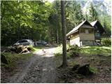 2
2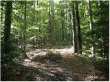 3
3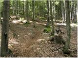 4
4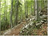 5
5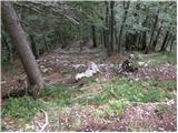 6
6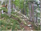 7
7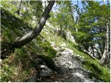 8
8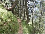 9
9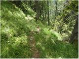 10
10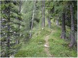 11
11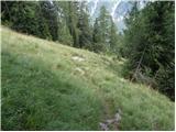 12
12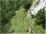 13
13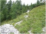 14
14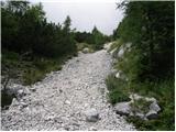 15
15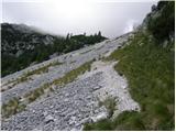 16
16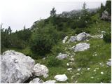 17
17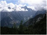 18
18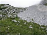 19
19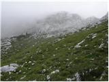 20
20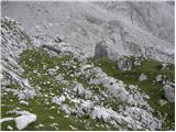 21
21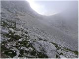 22
22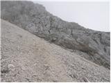 23
23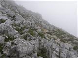 24
24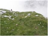 25
25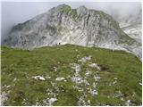 26
26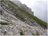 27
27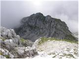 28
28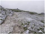 29
29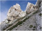 30
30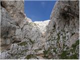 31
31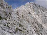 32
32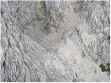 33
33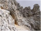 34
34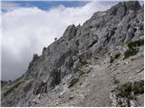 35
35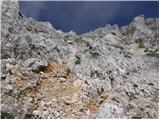 36
36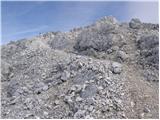 37
37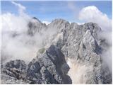 38
38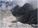 39
39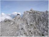 40
40