Poljana (Završnica) - Sveti Lovrenc above Zabreznica (on Štengce over Rebr)
Starting point: Poljana (Završnica) (640 m)
Starting point Lat/Lon: 46.4072°N 14.1461°E 
Path name: on Štengce over Rebr
Time of walking: 1 h
Difficulty: easy unmarked way
Difficulty of skiing: no data
Altitude difference: 85 m
Altitude difference (by path): 105 m
Map: Karavanke - osrednji del 1 : 50.000
Access to starting point:
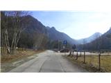
From highway Ljubljana - Jesenice at first we go to the exit Lesce, and then at the roundabout on the old road in the direction of Žirovnica and Jesenice. After few km of driving, we drive past a crossroad in which road towards the center of Žirovnica branches off to the right. When we drive past the viaduct Završnica, we get to the right turn off, where we go (we turn sharply right). Already immediately after this at the smaller crossroad we turn left, in the next (after 50 meters) to the right, in the direction of Završnica. After a short descent, the road for a short time ascends a little and after this flattens, and it brings us to the spot, where a macadam road towards Valvasorjev dom branches off to the left. We park on new parking lot, which is located near, next to reservoir, by the road on the right side.
Path description:
From the parking lot, we go over the bridge on the barrier of an artificial lake, and on the other side, we turn far right on the path which for few meters descends and it turns left. We walk on a quite wide path which leads on the northern slope of Rebr (ridge Brezniške peči) in the direction of west. We soon get to a bigger tunnel in the rocky wall on our left, and after a short time also to a marked left turn-off with the caption "po štengcah čez vrh" (on the stairs over the peak). We go on this steeper rocky path, which quickly brings us on a ridge, where a view opens up on the villages on the other side. The path on which we continue straight, or slightly left after this descends a little through a thin forest and after few minutes of additional walking brings us to a grazing fence. Behind it we continue slightly left uphill on the path which further by a gentle ascending leads on a grassy, sunny and nice panoramic south slope of the ridge towards the east. Diverse path a little higher after the smaller scree ascends a little towards the religious symbol in the middle of a slope (a cross), where the path from the village joins. From here further we walk on a little wider path, which sticks to the slope on the left. A little higher we run into a wooden cottage with benches, past which there continues our path, which soon after this turns sharply left. Further, the path is equipped also with stairs and a fence. After the ascent, behind the right turn there is a crossing at a wooden cairn, where we continue slightly right (left: because of the fallen trees, impassable part of the path). Next follows also a shorter part of the path by the fence, and over a small bridge, whereupon after few steps of easy walking we step into the vicinity of the church of St. Lovrenc, where we enjoy the rest and a nice view. Inscription book is situated by the wish bell at the entrance into the church.
Pictures:
 1
1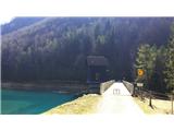 2
2 3
3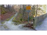 4
4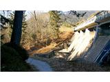 5
5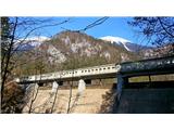 6
6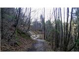 7
7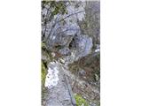 8
8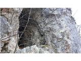 9
9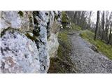 10
10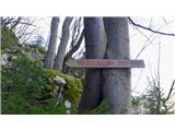 11
11 12
12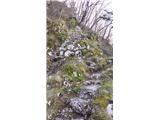 13
13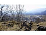 14
14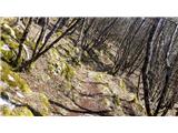 15
15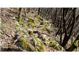 16
16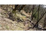 17
17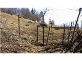 18
18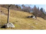 19
19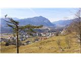 20
20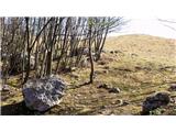 21
21 22
22 23
23 24
24 25
25 26
26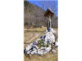 27
27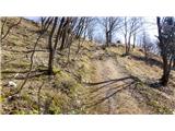 28
28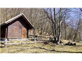 29
29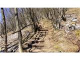 30
30 31
31 32
32 33
33 34
34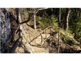 35
35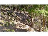 36
36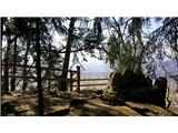 37
37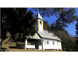 38
38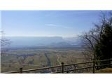 39
39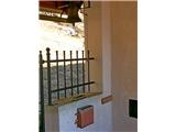 40
40