Povir - Stari tabor (harder path)
Starting point: Povir (410 m)
Starting point Lat/Lon: 45.6966°N 13.934°E 
Path name: harder path
Time of walking: 1 h 15 min
Difficulty: easy marked way
Difficulty of skiing: no data
Altitude difference: 193 m
Altitude difference (by path): 210 m
Map: Slovenska Istra - Čičarija, Brkini in Kras 1:50.000
Access to starting point:
A) From highway Ljubljana - Koper we go to the exit Divača, and then we continue driving towards Divača. From Divača we continue in the direction towards Sežana, and after few kilometers of additional driving, we get to the settlement Povir, where we leave the main road and we continue left towards the center of the settlement. Further, we drive through the center of the village, and after the overpass over the railway track, we turn left. Further, we drive past few more residential houses, and then the asphalt ends. We park few 100 meters ahead from the end of the village, on an appropriate place by the road.
B) First, we drive to Sežana, and then we continue driving on the old road towards Divača. When we get to the settlement Povir we leave the main road and we continue right towards the center of the settlement. Further, we drive through the center of the village, and after the overpass over the railway track, we turn left. Further, we drive past few more residential houses, and then the asphalt ends. We park few 100 meters ahead from the end of the village, on an appropriate place by the road.
Path description:
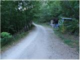
From the starting point, we continue on the macadam road which is at first ascending gently through the forest. The forest soon changes into bushes, and the road which is slowly turning towards the right, brings us to the marked crossroad, where we continue on the right road in the direction of Stari tabor (left Lokev and Strmec). From the crossroad ahead we continue on a quite gently sloping road, and it soon brings us to the next crossroad. This time we continue left in the direction of the harder path on Stari tabor (straight an easier path) and for a short time, we still continue on an increasingly bad road. After few minutes of additional walking, the blazes point us to the right on a little overgrown and at first also harder followable footpath. Next follows few successive crossings, where we carefully follow the blazes, and then the path brings us on a cart track which we follow to the left. We short time continue on a wider cart track, and then we continue right on a marked footpath which soon joins the second worse cart track. A little further, we leave also the latter cart track and we continue on a steeper path, which is then ascending through the low forest. Further a well-marked path higher brings us below the peak of Stari tabor, where it splits into two parts.
The right path with the help of some steel cables ascends on short rocky terrain (undemanding), and the left one avoids the short steep part and only few meters below the summit joins the path from the village Lokev.
Pictures:
 1
1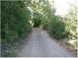 2
2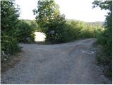 3
3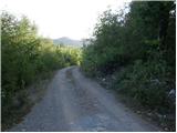 4
4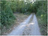 5
5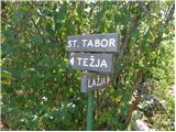 6
6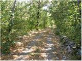 7
7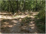 8
8 9
9 10
10 11
11 12
12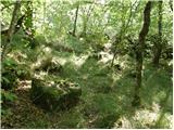 13
13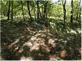 14
14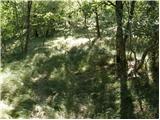 15
15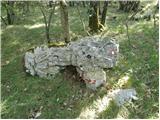 16
16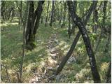 17
17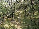 18
18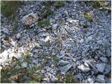 19
19 20
20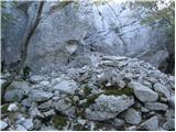 21
21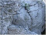 22
22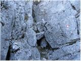 23
23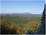 24
24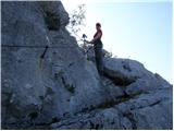 25
25 26
26 27
27 28
28