Povžane - Grmada at Slavnik
Starting point: Povžane (530 m)
Starting point Lat/Lon: 45.5772°N 14.004°E 
Time of walking: 2 h 15 min
Difficulty: easy unmarked way
Difficulty of skiing: no data
Altitude difference: 471 m
Altitude difference (by path): 510 m
Map: Slovenska Istra - Čičarija, Brkini in Kras 1:50.000
Access to starting point:
We leave the Primorska highway at the Kozina exit, and then follow the road towards Ilirska Bistrica. In the settlement of Materija, after the gas station, we turn left towards the kindergarten, where we park in the nearby parking lot.
Path description:
From the parking lot, we return to the main road and carefully cross it at the pedestrian crossing, then we turn onto a side road that begins by the gas station Discount Oil.
Here we also notice the first mountain signposts for Slavnik, the mountain pasture Jegno, and Skadanščina. The path initially leads along an asphalt road that takes us among houses, but at the monument to Jože Babič, the path turns right and begins to descend. Further on, we descend for a while along a macadam road, where we turn left at a small crossroads of multiple roads, and the road flattens lower down, leading us to a junction at a pond, where we continue straight towards Slavnik (left Skadanščina).
Next follows a gently sloping to moderate diagonal ascent on a cart track, and we arrive at a crossing, where we go left in the direction of Slavnik (straight to mountain pasture Jegno and Slavnik via the mentioned mountain pasture).
The path ahead ascends on a footpath, then rejoins the forest road, accompanied by blazes. After a few minutes of gentle ascent, we go left onto a pleasant footpath. Follows few minutes of easy walking on partly grassy slopes, and then we cross a little wider cart track. We continue on a previously less visible path, then gradually start ascending more steeply, and higher up, we reach a forest road. We follow the road to the right, walking only a few steps, then blazes direct us left onto an ascending footpath. The path ahead at first steeply ascends, and then turns to the left, where it flattens a little. Then follows few minutes of a diagonal ascent towards the left and then the path comes out of the forest on a grassy slope, on which we in few minutes ascend to the road which leads on Slavnik.
Here we go right (left to peak Slavnik and Tumova koča) and descend slightly; when the marked path leaves the road and continues straight, we go left, and from the road a few steps further, turn right onto a cart track, continuing to the peak Grmada, a few minutes away.
On the way: Kališče (642m)
Pictures:
 1
1 2
2 3
3 4
4 5
5 6
6 7
7 8
8 9
9 10
10 11
11 12
12 13
13 14
14 15
15 16
16 17
17 18
18 19
19 20
20 21
21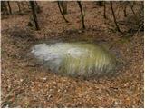 22
22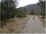 23
23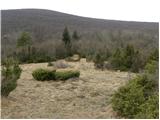 24
24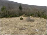 25
25 26
26 27
27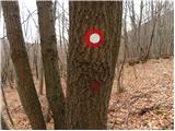 28
28 29
29 30
30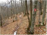 31
31 32
32 33
33 34
34 35
35 36
36 37
37 38
38 39
39 40
40 41
41 42
42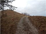 43
43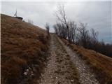 44
44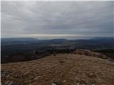 45
45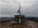 46
46 47
47