Starting point: Praprotno (390 m)
Starting point Lat/Lon: 46.1955°N 14.2647°E 
Time of walking: 2 h 15 min
Difficulty: easy marked way
Difficulty of skiing: no data
Altitude difference: 635 m
Altitude difference (by path): 650 m
Map: Škofjeloško in Cerkljansko hribovje 1:50.000
Access to starting point:
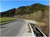
A) First, we drive to Škofja Loka, and then we continue driving towards Železniki. When the Škofja Loka - Železniki road first crosses the Selška Sora river over a bridge, we pay attention, because right behind the bridge we park on the right side of the road.
B) From Tolmin or Most na Soči, we drive to Podbrdo, and then we continue driving towards Železniki and Škofja Loka. Just about 100 m after the settlement Praprotno, right before we cross the Selška Sora river, we will notice a larger macadam parking lot on the left side of the road, where we park.
Path description:
From the starting point we walk some 10 m along the main road towards Železniki, then signs for Praprotno and Lubnik direct us left onto a narrower local road, along which we quickly arrive in the village Praprotno. Through the village we follow the rare blazes, and the path, which all the time runs on the road, leads us across initially still panoramic slopes, from which a nice view opens up on Lubnik and Planica. The asphalt road continues briefly through the forest, then ascends over a grassy hayfield, across which increasingly beautiful views open up. The path ahead leads us through the lower part of the village Sveti Tomaž, where at the intersection we continue left and then continue ascending along an increasingly panoramic road. With a view on Storžič, Kočna, Grintovec and other peaks in the Kamniške and Savinjske Alps, we then walk to the upper part of the village, where we step onto a panoramic ridge.
When we reach the ridge, we continue left (right 3 minutes, church of sv. Tomaž) and with a view on a large part of the Škofjeloško hribovje, we walk to the edge of the forest, where there is a marked junction.
We continue straight in the direction of Lubnik (right Gabrška Gora, Poljane...) and continue the ascent on a cart track, from which soon a marked footpath branches off to the left. Higher, the footpath returns to the cart track, then leaves it again for some time. Higher, after we have again stepped onto the cart track, we join a macadam road, along which we walk to the homestead Zalubnikar.
Above the homestead the road ascends more steeply and brings us to a saddle, where there is also a marked junction. We continue left in the direction of Lubnik, on a path which quickly brings us to a macadam road, along which we continue a gentle ascent in the already familiar direction. The macadam road then goes into the forest, where it crosses slopes towards the right. Somewhat higher a marked path from Breznica pod Lubnikom joins from the right, we continue slightly left on an increasingly worse, partly already cart track road. We continue the ascent on an always worse and gradually also increasingly steep cart track, but we also leave this one and continue the ascent on a marked mountain path (due to numerous cart tracks orientation is somewhat harder at a few places). Higher a few more mountain paths join from the right, we follow the path, which is steeper in places, all the way to the top of Lubnik, a peak from which a nice view opens up.
On the way: Tomaž nad Praprotnim (626m)
Pictures:
 1
1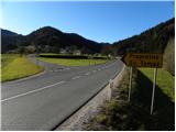 2
2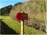 3
3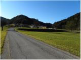 4
4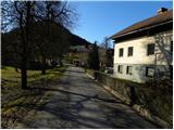 5
5 6
6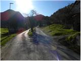 7
7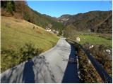 8
8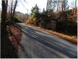 9
9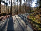 10
10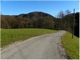 11
11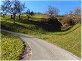 12
12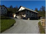 13
13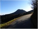 14
14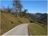 15
15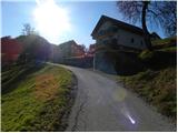 16
16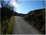 17
17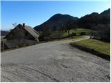 18
18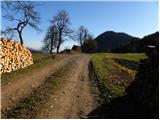 19
19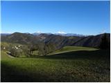 20
20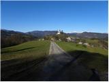 21
21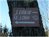 22
22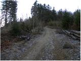 23
23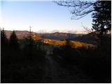 24
24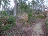 25
25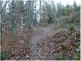 26
26 27
27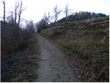 28
28 29
29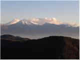 30
30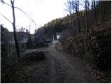 31
31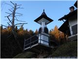 32
32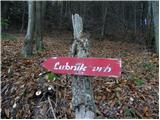 33
33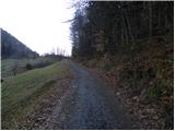 34
34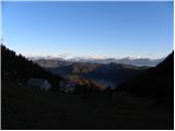 35
35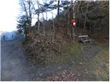 36
36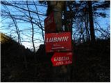 37
37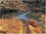 38
38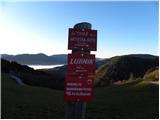 39
39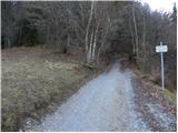 40
40 41
41 42
42 43
43 44
44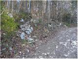 45
45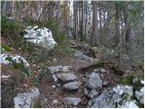 46
46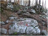 47
47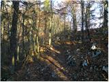 48
48 49
49 50
50 51
51 52
52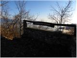 53
53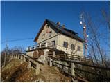 54
54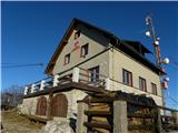 55
55 56
56