Starting point: Prečna (185 m)
Starting point Lat/Lon: 45.8151°N 15.1036°E 
Time of walking: 1 h 40 min
Difficulty: easy marked way
Difficulty of skiing: no data
Altitude difference: 160 m
Altitude difference (by path): 200 m
Map:
Access to starting point:
A) We leave the Dolenjska motorway at the Novo mesto west exit, then follow the signs, first for Novo mesto, then for Prečna. We continue driving through Prečna, passing the turn-off to the road towards Dom Frata and Ajdovec. Next comes the crossing of the river Temenica; after the bridge, we take the first road to the right, then ascend to the parking lot next to the former Klub Lukna, where we park.
B) From Žužemberk or Črmošnjice, we drive to Straža, then follow the signs for Prečna. At the very beginning of Prečna, still before crossing the Temenica, we turn sharply left from the main road onto the road by which we ascend to the parking lot next to the former Klub Lukna.
Path description:
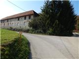
From Marof i.e. the former Klub Lukna we continue right on the macadam road, by which we quickly arrive at the right bank of the Temenica, and we continue a little further to the marked junction by the ruins of Luknja Castle.
At the ruins, the path splits, and we can continue left upwards on the initially steep path, which soon flattens and turns slightly right, then after a few minutes joins the asphalt road Prečna - Brezova Reber pri Dvoru; alternatively, we can continue right downwards to the dammed source of the Temenica and from there ascend to the previously mentioned asphalt road.
When we reach the asphalt road, first from the junction we continue towards Ajdovec (right Suhor and Kuzarjev Kal), mostly ascending gently to moderately along it, and soon the road from Vrhovo pri Mirni Peči also joins us.
We continue in the direction towards Dom Frata; at the next junction we continue slightly left in the direction of Brezova Reber (slightly right Dom Frata - access by car and Dolenji Globodol). Higher up the forest thins out and from the path a view opens onto nearby Golobinjek; a little further on we arrive at two mighty linden trees (the trunk circumference of the thicker linden measures 520 cm at breast height).
From the junction beyond the linden trees we continue right in the direction towards Ajdovec and Dvor (left Veliki Lipovec) and for a few minutes continue along pastures with fine views. At the end of the settlement Brezova Reber, which we have bypassed along the lower side, we continue straight ahead, then soon go right in the direction of the marked path towards Dom Frata. A short descent on a cart track follows, then for a while we continue without major changes in elevation. When we leave the forest, we bypass the NOB monument and the logbook box on the right side and walk along the edge of the meadow to Dom Frata.
Description and pictures refer to the condition in 2018 (October).
On the way: Grad Luknja (195m), Brezova Reber pri Dvoru (428m)
Pictures:
 1
1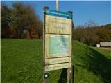 2
2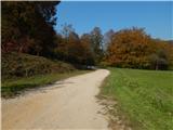 3
3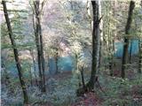 4
4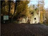 5
5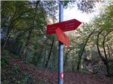 6
6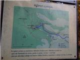 7
7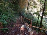 8
8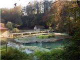 9
9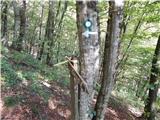 10
10 11
11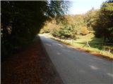 12
12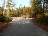 13
13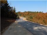 14
14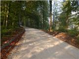 15
15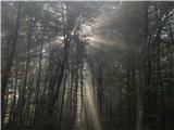 16
16 17
17 18
18 19
19 20
20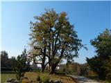 21
21 22
22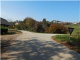 23
23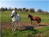 24
24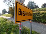 25
25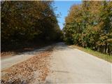 26
26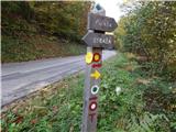 27
27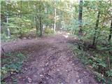 28
28 29
29 30
30 31
31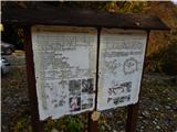 32
32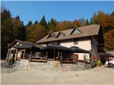 33
33