Prelaz Vrhe - Source of Sotla
Starting point: Prelaz Vrhe (426 m)
Starting point Lat/Lon: 46.2583°N 15.7586°E 
Time of walking: 1 h 30 min
Difficulty: easy marked way
Difficulty of skiing: easily
Altitude difference: 214 m
Altitude difference (by path): 315 m
Map:
Access to starting point:
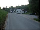
From highway Ljubljana - Maribor we go to the exit Dramlje and follow the road ahead in the direction of Šentjur, Rogaška Slatina and Rogatec. In Rogatec signs for Donačka gora point us to the left on a little narrower road which we then follow towards the village Žetale. On a smaller mountain pass, right at the spot, where municipality Rogatec ends, we will on the right side notice a little larger parking lot, where we park.
Path description:
From the parking lot, we at first walk to the mountain pass, and then we continue on the main road in the direction of source of Sotla. Already after few steps of descent on the road, at the very beginning of the village Čermožiše, signs for source of Sotla point us to the right on a macadam road which we follow only few 10 meters. Here we will notice a marked cart track which from the macadam road turns to the right and starts moderately ascending through the forest. We continue the ascent on a well-marked cart track which higher brings us to a forest road which we follow to the left, and it quickly brings us to the hunting cottage (Koserjeva koča).
Immediately after the cottage we leave the macadam road, because blazes point us to the left on a footpath which starts ascending steeper through a dense forest. The path soon brings us on a wide ridge of Macelj, where it flattens, and then it continues with some shorter ascents and descents. When a nice view opens up on Donačka gora, we leave the ridge and we continue slightly right, on a cart track, that starts descending. After few minutes of descent, we come to the next crossing, where we continue sharply left (slightly right Trlično and Lipovec). Further, we are gently ascending on a grassy cart track, and then signs for source of Sotla point us to the right on a footpath, on which in a minute of additional walking, we descend to the source.
On the way: Koserjeva koča (650m)
Pictures:
 1
1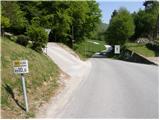 2
2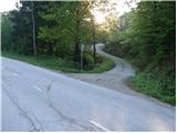 3
3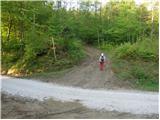 4
4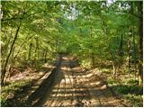 5
5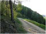 6
6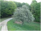 7
7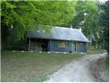 8
8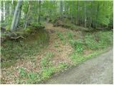 9
9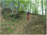 10
10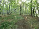 11
11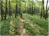 12
12 13
13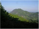 14
14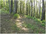 15
15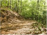 16
16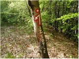 17
17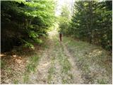 18
18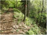 19
19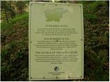 20
20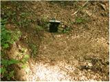 21
21