Prelože pri Lokvi - Veliko Gradišče
Starting point: Prelože pri Lokvi (480 m)
Starting point Lat/Lon: 45.6581°N 13.935°E 
Time of walking: 45 min
Difficulty: easy marked way
Difficulty of skiing: no data
Altitude difference: 262 m
Altitude difference (by path): 262 m
Map:
Access to starting point:
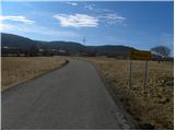
From the highway Ljubljana - Koper we take the exit Divača, and then we continue driving towards Divača. Just before Divača we turn left towards the village Lokev, and in Lokev sharply left in the direction of Prelože. Further, we drive a little less than 200 meters to the next crossroad, from where we continue right in the direction of the village Prelože and the peaks Veliko Gradišče and Kokoš. When the village Lokev ends, the road starts ascending and quickly brings us to the village Prelože pri Lokvi, where we start our path. In the mentioned village there are no appropriate parking spots, and also lower along the road there are not many options for parking.
Path description:
From the starting point, we first walk to the village Prelože pri Lokvi, and from there we continue on a marked path, initially along the road. Above the village the asphalt ends, the macadam road ahead quickly changes into a rough cart track. Higher up, the cart track, which moderately ascends through the forest, ascends a little steeper and brings us to a junction at the spring Vroček.
Here we continue left (right Kokoš) and ascend along the cart track to the nearby junction, where we continue sharply right. We continue the ascent on a somewhat less steep mountain path, which continues through the forest, then turns right and in a few minutes of further walking ascends to the panoramic peak.
On the way: Vroček (645m)
Pictures:
 1
1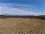 2
2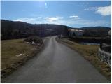 3
3 4
4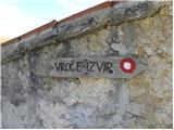 5
5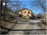 6
6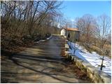 7
7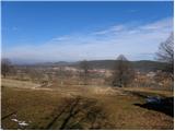 8
8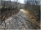 9
9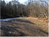 10
10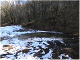 11
11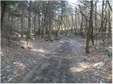 12
12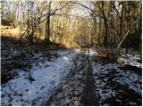 13
13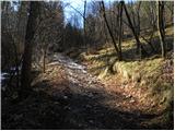 14
14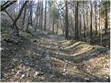 15
15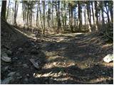 16
16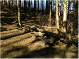 17
17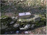 18
18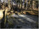 19
19 20
20 21
21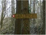 22
22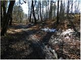 23
23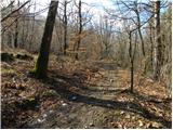 24
24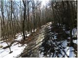 25
25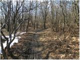 26
26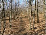 27
27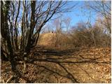 28
28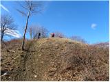 29
29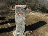 30
30 31
31