Prigorec - Ivanščica (via Konj (Rajterjeva pot))
Starting point: Prigorec (396 m)
Path name: via Konj (Rajterjeva pot)
Time of walking: 1 h 30 min
Difficulty: easy marked way
Difficulty of skiing: easily
Altitude difference: 665 m
Altitude difference (by path): 665 m
Map:
Access to starting point:
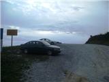
A) We come to Croatia via the border crossing Gruškovje / Macelj. We leave the highway at the first exit and go in the direction of Varaždin. Along the route are Trakoščan, Bednja, Lepoglava and we come to Ivanec. In Ivanec, at the intersection with traffic lights we turn right towards the south (now the peak of Ivanščica is exactly in front of us) and we drive straight ahead. The road starts to ascend and brings us to the village Prigorec. We drive through the village straight ahead and uphill and by the highest house we will come to a large, but due to high attendance often occupied parking lot, where we leave the car.
B) From Prekmurje via the border crossing Petišovci / Mursko središče we arrive in Croatia and continue driving through Čakovec and Varaždin, where we will turn in the direction of Ivanec. In Ivanec, at the junction with traffic lights we turn left towards the south and we follow the description A.
Path description:
From the large parking lot at the end of the village Prigorec we return to the last intersection in the village, where we will notice mountain signposts. We go into the parallel street to the end of the asphalt and then left to the last and highest house in the village. We reach a cart track, which is usually very muddy, but we quickly leave it and begin to ascend quite steeply on the eastern slope (if we continued straight the path would temporarily lead us to the unofficial path "Po struji" and "Temna dol").
The path now ascends quite steeply in numerous hairpin turns on a steep and slippery in rain slope. At some turns wooden stairs help us. Higher we arrive at a smaller viewpoint Mali Konj, where the path becomes gentler and turns north.
After the viewpoint we come to a shorter rocky section, where the surface becomes gravelly, and the forest somewhat lower. At the end of this section the path flattens for a minute, then we are again in higher forest and the path steeper.
Now we ascend in numerous turns (a shortcut is also used, which is very steep and runs along the ridge itself), on one tree we will notice the mark 1/2, which indicates that we are halfway up the path. The path becomes steeper and steeper, then flattens for a few minutes.
On the flat section we come to a fork, where we can choose the lower path, which bypasses the summit of Konj, or the upper one, which leads us over the nice viewpoint Konj. The paths soon join on a short flat section, then soon become very steep.
On this section the logged area is a problem, which is usually very overgrown in the season. On the upper part of the path the usually muddy and rocky surface is also a problem. When the forest becomes visibly mixed we are near the summit. Temporarily we also come to a supply road, where paths from Ivanec and Belec join.
Now we go right past the barrier and after a minute we reach the mountain hut Pasarićev dom, where we can refresh ourselves and also overnight.
From the hut to the summit is still one minute of walking. On the summit there is a lookout tower, from which despite the relatively low elevation there is an exceptional view.
Prigorec - Mali Konj 30 minutes
Mali Konj - Konj 30 minutes
Konj - summit 30 minutes.
Pictures:
 1
1 2
2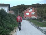 3
3 4
4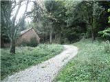 5
5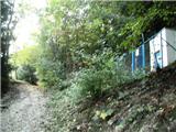 6
6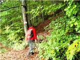 7
7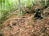 8
8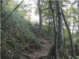 9
9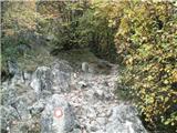 10
10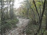 11
11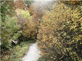 12
12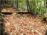 13
13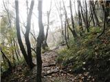 14
14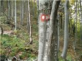 15
15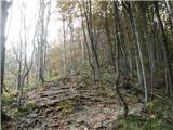 16
16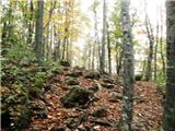 17
17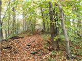 18
18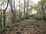 19
19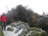 20
20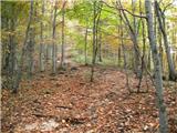 21
21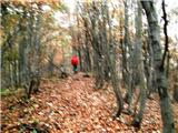 22
22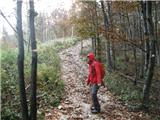 23
23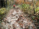 24
24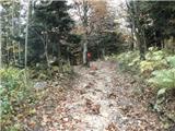 25
25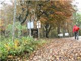 26
26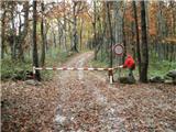 27
27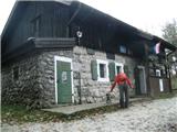 28
28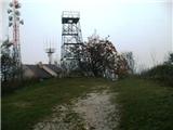 29
29