Radegunda (Žekovec) - Sveta Radegunda (Radegunda)
Starting point: Radegunda (Žekovec) (508 m)
Starting point Lat/Lon: 46.35651°N 14.93203°E 
Time of walking: 1 h 15 min
Difficulty: easy marked way
Difficulty of skiing: no data
Altitude difference: 316 m
Altitude difference (by path): 316 m
Map: Kamniške in Savinjske Alpe 1:50.000
Access to starting point:
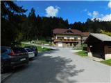
We drive to Mozirje, where from the roundabout we take the exit in the direction of Golte. Next follows a short ascent, and in front of the inn Vid the road splits. To the right continues the road towards the plateau Golte, but we go left in the direction of the cableway to Golte. We continue to follow the signs for the ski slope, and we park in the hamlet Žekovec at the designated parking lot by the lower station of the cable car to Golte.
Path description:
From the parking lot, we head onto a footpath towards Mozirska koča through Zagradiška puša and begin ascending an asphalt road, which quickly turns into a macadam road. Next follows a diagonal ascent, initially through a scenic area, then the road enters a forest through which we ascend for a few minutes, before turning right onto a footpath towards Mozirska koča. Next is an ascent through the forest, where we follow blazes at several crossroads; higher up, we briefly walk on a cart track, which, after a short traverse to the right, leads us to a macadam road that we follow upwards. A little further, we leave the forest and at a left turn, near a nearby farm, a marked path from the inn Vid or the path past Žnider joins from the right.
Next follows some walking on an asphalt road, and after a strip of forest, a view opens towards the church of St. Radegunda. The path ahead leads us past a small spring and a chapel, then we turn left onto a footpath, crossing a grazing fence, and initially continue ascending through the forest. Higher up, at the crossing of a rougher macadam road, we pass another chapel, then return to an asphalt road, which we leave at the end of a right turn and continue left onto a footpath that ascends diagonally across a meadow. Next follows a shorter ascent through the forest and right before we reach the asphalt road, we reach a macadam road, which we follow left in the direction of Sveta Radegunda - the path ahead isn't marked, but it is marked at crossings (straight continues the marked path towards Mozirska koča).
For a few minutes, we cross towards the left and gradually descend; from the crossroad near the Mežnar homestead, we go left following the signs for Sveta Radegunda. The path ahead leads us past the homestead, then through a strip of forest, and soon we arrive at the church of St. Radegunda.
The description and pictures refer to the condition in September 2024.
Pictures:
 1
1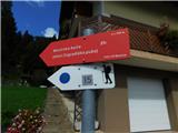 2
2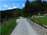 3
3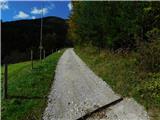 4
4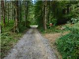 5
5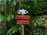 6
6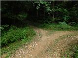 7
7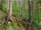 8
8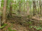 9
9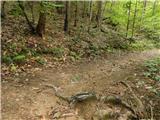 10
10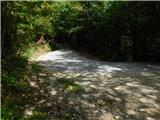 11
11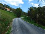 12
12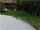 13
13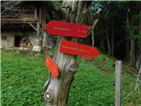 14
14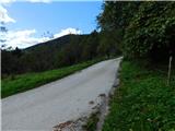 15
15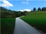 16
16 17
17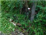 18
18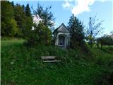 19
19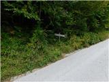 20
20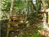 21
21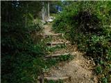 22
22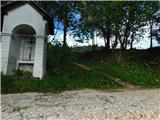 23
23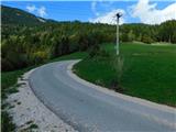 24
24 25
25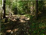 26
26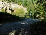 27
27 28
28 29
29 30
30 31
31 32
32 33
33 34
34 35
35 36
36 37
37