Rakovnik - Sveti Florijan (Tehovec) (via Breznik)
Starting point: Rakovnik (329 m)
Starting point Lat/Lon: 46.1419°N 14.3825°E 
Path name: via Breznik
Time of walking: 1 h 20 min
Difficulty: easy unmarked way
Difficulty of skiing: no data
Altitude difference: 356 m
Altitude difference (by path): 380 m
Map: Ljubljana - okolica 1:50.000
Access to starting point:
A) We drive to Medvode, where from the crossroad at store Spar we go in the direction of Sora. On the road towards Sora we drive to the settlement Rakovnik, where at the end of the settlement, at the crossroad before the bus stop there is the beginning of the described path. At the starting point, there aren't any appropriate parking spots.
B) We drive to Škofja Loka, and then we continue driving towards Medvode. Still before the settlement Godešič we turn right towards Lipica, and we continue further, where we go over the river Sora, and when we get to the settlement Gosteče, we go left. Next follows driving to the settlement Sora, where we go straight (right - Katarina), and when we get to the settlement Rakovnik, at the crossroad, which is situated behind the bus stop there is the beginning of the described path. At the starting point, there aren't any appropriate parking spots.
Path description:
From the crossroad at the bus stop we go on a side road which with a view on Hom and newer houses brings us to the edge of the forest, where we go left. Further, we walk among some houses, and at the smaller crossroad after the religious symbol, we go slightly right on the upper road which leaves the settlement and through a meadow brings us to the edge of the forest, where at the transmitters we leave the road and we continue right on a cart track which brings us into the forest. Next follows an ascent on a cart track which a little higher splits, and we continue on a wider left cart track which crosses a riverbed of the stream. Next follows some diagonal ascent, and when the cart track turns right, it quickly brings us to a crossing of several cart tracks, and we continue on the right, from which for some time a nice view opens up on Kamnik Savinja Alps. Next follow few crossings, where we continue straight, on the part where the terrain flattens we go from the cart track slightly right on a beaten footpath which brings us on an indistinct forested ridge. Here at the crossing we choose the left path, and a little ahead we reach the cart track, on which we continue. The cart track higher narrows and we quickly get to an indistinct peak Breznik, where on the left we notice a bench and sign with the caption Breznik.
We continue straight in the direction towards Sveti Jakob (caption on the tree), and in few minutes of descent, we join the marked path from Sora, which we reach at the religious symbol.
We continue straight in the direction of Katarina, and only a little further we join the macadam and then also an asphalt road which we follow to the right. We continue on the asphalt road which past NOB monument brings us to the upper part of the village Studenčice. Here the road starts ascending steeper, and then it flattens and past the abandoned quarry brings us to the village Tehovec. We continue a gentle ascent on again more panoramic slope, and we follow the asphalt road all the way to the church of St. Florijan in already mentioned village.
Rakovnik - Breznik 0:55, Breznik - Sveti Florijan 0:25.
On the way: Breznik (Boben) (643m)
Pictures:
 1
1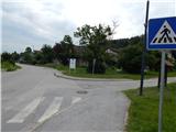 2
2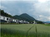 3
3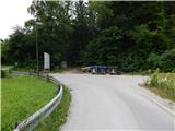 4
4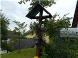 5
5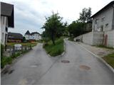 6
6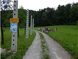 7
7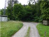 8
8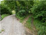 9
9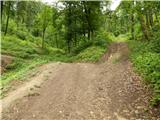 10
10 11
11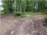 12
12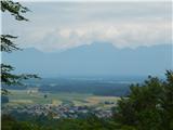 13
13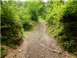 14
14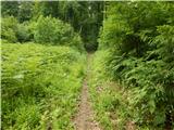 15
15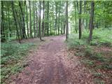 16
16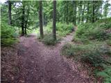 17
17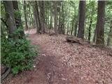 18
18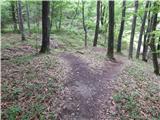 19
19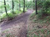 20
20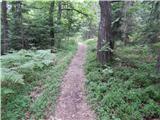 21
21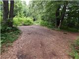 22
22 23
23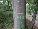 24
24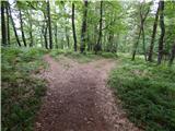 25
25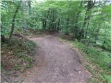 26
26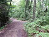 27
27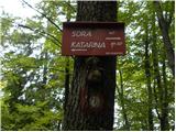 28
28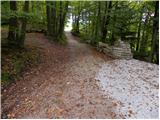 29
29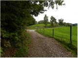 30
30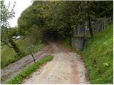 31
31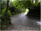 32
32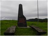 33
33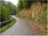 34
34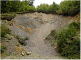 35
35 36
36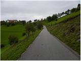 37
37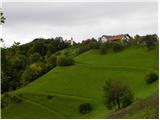 38
38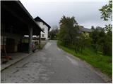 39
39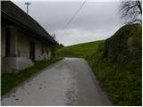 40
40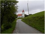 41
41 42
42