Rein - Mühlbacher Kogel (Hunting path / Jägersteig)
Starting point: Rein (452 m)
Starting point Lat/Lon: 47.13706°N 15.28756°E 
Path name: Hunting path / Jägersteig
Time of walking: 2 h 10 min
Difficulty: easy marked way
Difficulty of skiing: no data
Altitude difference: 598 m
Altitude difference (by path): 620 m
Map: https://www.bergfex.at
Access to starting point:
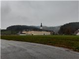
From highway Maribor-Graz-Salzburg (A9) we go to the exit Gratkorn-Nord, 2nd exit after the tunnel Plabutschtunnel. We turn right in the direction of Rein. We drive through three roundabouts. In the first we choose 1st exit, in second 2nd exit and in third 1st exit towards the settlement Rein. Next follow two more crossings, where in the 1st we turn right and in 2nd left. After 2.5 km we get to the settlement Rein, where we park on a large parking lot, intended for visitors of monastery.
Path description:
From the parking lot, we go on a sidewalk in the direction of monastery. At the crossroad, we turn right over a bridge of the stream Mühlbach. Immediately after the first house we again turn right. Few meters after the path loses an asphalt pavement, we turn right on a hunting path (a sign Jägersteig). The path by the fence we follow 100 meters and then we turn sharply right into a steep hill. On top of the slope, we come on the ridge, where we turn left. On the ridge, we at first continue steeply upwards and then slightly up/down, until the path joins the road. We continue on the road upwards and after approximately 800 meters a sign again points us on a forest path. We follow the path to the road which we cross. Next follows a crossing, in which we choose the left path. We follow the signs. After the steep part of the path, we get to a macadam road, where we continue left. We follow the road approximately 2.5 km and in good weather, we can admire a view into a valley. A sign on rock point us on a wider forest path, which we follow to the hut.
At the well behind the mountain hut we go on a small footpath slightly left upwards. After 50 meters at the crossing we go right steeply upwards. We get to a saddle, where we go left. Grassy footpath leads in the forest. In few 10 meters we come to the summit.
On the way: Mühlbacher Hütte (996m)
Pictures:
 1
1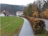 2
2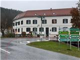 3
3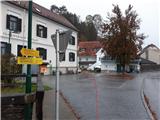 4
4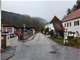 5
5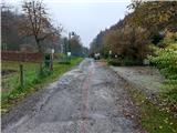 6
6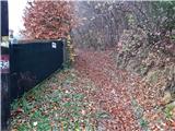 7
7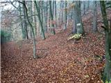 8
8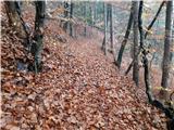 9
9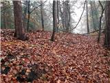 10
10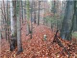 11
11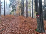 12
12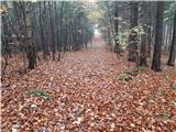 13
13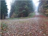 14
14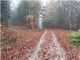 15
15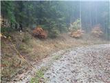 16
16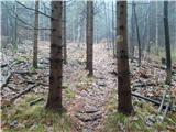 17
17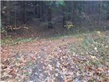 18
18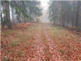 19
19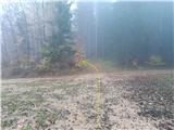 20
20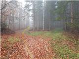 21
21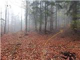 22
22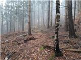 23
23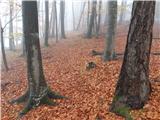 24
24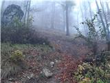 25
25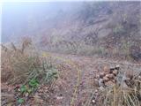 26
26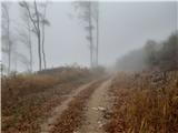 27
27 28
28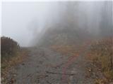 29
29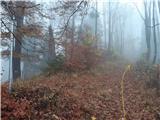 30
30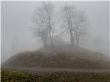 31
31 32
32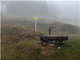 33
33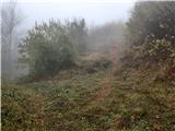 34
34 35
35 36
36 37
37 38
38 39
39 40
40 41
41