Ribenski most - Hunting cottage Talež
Starting point: Ribenski most (427 m)
Starting point Lat/Lon: 46.3445°N 14.1241°E 
Time of walking: 45 min
Difficulty: easy marked way
Difficulty of skiing: partly demanding
Altitude difference: 298 m
Altitude difference (by path): 298 m
Map: Karavanke - osrednji del 1:50.000
Access to starting point:
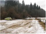
From the road Ljubljana - Jesenice we go towards Bled. In Bled from the main road, the road branches off to the left towards the village Ribno (there are two turn-offs). The roads then join and bring us in Ribno, where we get to few successive crossroads (1st right Selo, 2nd right Ribno center and 3rd right road Savska cesta). Here at the third crossroad we turn right in the direction of road Savska cesta. This road which is descending we follow through the village to the bridge over Sava Bohinjka. Ahead we cross the bridge and after the bridge we turn right. We follow this road another 100 meters to a large parking lot by the edge of the forest.
Path description:
From the parking lot, we continue on the road ahead and after few minutes of walking, it brings us to signs for Talež 30min (for those who walk fast). Here we continue straight through a smaller clearing into the forest. Further, we are at first gently ascending on the path by which we can see a lot of deposited stones and rough torrents. This what we see by the path are consequences of storm in September 2007. And the path is then becoming increasingly steep and after 20 minutes of walking it is already steeply ascending. This path, where the steepness decreases only once for a short time, we follow to the spot, where it joins the cart track. Here we continue right and after few steps of walking on a cart track we get to the cross and partisan monument by the path. And only a little ahead we come on the forest road, where we continue right. This road which is barely noticeably ascending we follow all the way to the hunting cottage, which we reach after five minutes of walking.
Pictures:
 1
1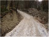 2
2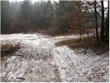 3
3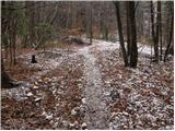 4
4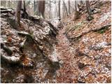 5
5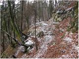 6
6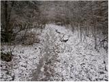 7
7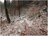 8
8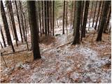 9
9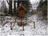 10
10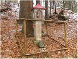 11
11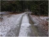 12
12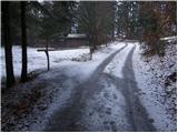 13
13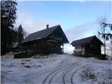 14
14