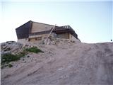
Rifugio Gilberti - Vrh Grubje
Starting point: Rifugio Gilberti (1850 m)
Starting point Lat/Lon: 46.3874°N 13.4734°E 
Time of walking: 2 h 30 min
Difficulty: easy pathless terrain
Difficulty of skiing: partly demanding
Altitude difference: 390 m
Altitude difference (by path): 550 m
Map: Julijske Alpe - zahodni del 1:50.000
Access to starting point:
From Kranjska Gora over the border crossing Rateče we drive to Trbiž / Tarvisio. In Trbiž we continue left in the direction of Bovec and we follow the road to the crossroad near Rabeljsko Lake. Here we continue right in the direction of Nevejski preval / Sella Nevea. This road, which is mostly ascending, we follow to a large parking lot at the bottom station of the cableway, which runs to the hut Gilberti.
Then we buy a ticket and take the cableway to the upper cableway station. From the upper cableway station to the hut Gilberti we have 5 minutes of walking on a transport-rescue road.
From Bovec, we drive to the border crossing Predel, from which we descend to the Italian side. Just a little after Rabeljsko Lake we come to the crossroad, where we continue left in the direction of Nevejski preval / Sella Nevea. Further, follow the above description.
Path description:
From the mountain hut, we slightly descend (direction west) into a smaller valley, where there is a junction. We continue right in the direction of S.Grubia on the path which runs between the main Kanin ridge on the left and Bela peč on the right. The path ahead first ascends gently through the valley, then starts to ascend more steeply and after a few minutes of ascent brings us to an old military fort on the saddle Bela peč. Behind the fort we continue slightly left in the direction of "bivacco" (right Bela peč 30 minutes very demanding path) on an old military mule track, which is already well destroyed. The path, which slightly descends and then ascends again, runs over locally steep slopes, which are partly slightly precipitous and exposed to falling stones (because the path is wide when dry it doesn't cause problems). The path then brings us to a junction, where the path to Visoki Kanin branches off to the left upwards. We continue on the mule track, which further crosses some gullies that remain covered with snow late into summer. Nice and panoramic high mountain path brings us after 2 hours of walking from the hut Gilberti to the bivouac Marussich.
Only a few steps from the bivouac we come to the saddle Peravo, where there is a junction. We continue straight in the direction of M.Sart on the path which starts ascending towards the west. Soon we see in front of us military forts (defense wall), at which we leave the marked path. We continue the ascent on pathless terrain, but since we stick to the ridge there are no orientation problems. After a good 20 minutes of pathless ascent we step onto the panoramic grass-covered summit.
Pictures:
 1
1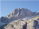 2
2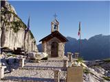 3
3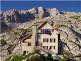 4
4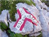 5
5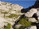 6
6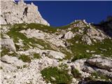 7
7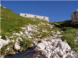 8
8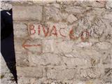 9
9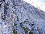 10
10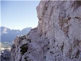 11
11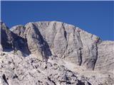 12
12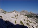 13
13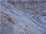 14
14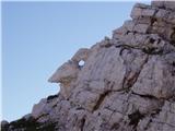 15
15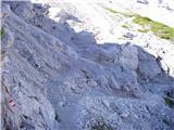 16
16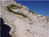 17
17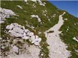 18
18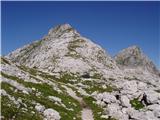 19
19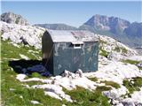 20
20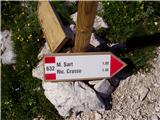 21
21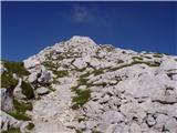 22
22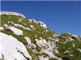 23
23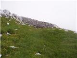 24
24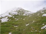 25
25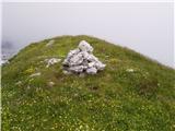 26
26