Rosenbach - Quadiaalm (via Medji dol / Bärental)
Starting point: Rosenbach (630 m)
Starting point Lat/Lon: 46.522°N 14.029°E 
Path name: via Medji dol / Bärental
Time of walking: 2 h 30 min
Difficulty: easy marked way
Difficulty of skiing: no data
Altitude difference: 641 m
Altitude difference (by path): 675 m
Map: Karavanke 1:50.000 - osrednji del
Access to starting point:
A) Through the Karawanks Tunnel, we drive to Austria, and then we drive on the highway towards Beljak, which we leave on the first exit. From the point where we left the highway, we follow the signs for Šentjakob v Rožu / Sankt Jakob im Rosental. When we get to the mentioned settlement, we leave the main road and continue driving right in the direction of the settlement Podrožca / Rosenbach. After a few kilometers of additional driving, we get near the railway station in Podrožca, where we continue left downhill, and then at the next crossroad right in the direction of the valley Medji Dol / Bärental. Further, we drive on a somewhat narrower asphalt road, which we follow to the first crossroad, where we notice hiking signposts. We park at an appropriate place by the road.
From the toll station at Hrušica to the starting point, there is approximately 23 km.
B) Over the border crossing Ljubelj, we drive to Austria and follow the main road towards Celovec / Klagenfurt. When we already get into the valley, at the second roundabout, which is situated on the right bank of the river Drau, we take the exit Bistrica v Rožu / Feistritz im Rosental, and then we drive on the main road to the settlement Podgorje / Maria Elend. After the mentioned settlement, we turn left towards Podrožca / Rosenbach. Further, the road leads us through the settlement Tale / Tallach, and then we already get to Podrožca. In Podrožca, at first we drive through the underpass under the railway track, and a little further we already see the first signs for Golica / Kahlkogel, where we still continue on the main road. At the next yellow signs, about 50 meters ahead, we continue left on a narrower asphalt road which leads into the valley Medji dol / Bärental (at the crossroad there are signs for the chapel in ruins / Kapellenruine). From the crossroad, we drive for approximately 1 km, and then we park at an appropriate place by the crossroad and hiking signposts.
From the border crossing Ljubelj to the starting point, there is approximately 35 km.
Path description:
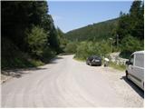
From the starting point, we head onto the left road following the signs Rožca / Rosenbachsattel (straight Kepa / Mittagskogel). The road first crosses a bridge over the stream Gračenica / Schönbrunnen, and then starts first gently, later moderately ascending through the forest. Further, we ascend for quite some time on the forest road, and then we get to a marked crossroad at an altitude of 900 meters.
From the mentioned crossroad, we continue left in the direction of Golica / Kahlkogel and mountain pasture Kladje / Quadiaalm and we still ascend on the road, from which higher occasionally some views open towards the surrounding mountains. Higher, at an altitude of approximately 1300 meters we get to a small saddle, where a path branches off to the right towards the summit of Golica, and we continue on the road which starts descending. After a short descent, we get to a crossroad of macadam roads, from which we continue sharply left on the road which still descends (straight mountain pasture Zgornje Kladje and hunting cottage). After a shorter further descent we get out of the forest onto the mountain pasture Kladje.
Pictures:
 1
1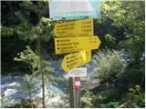 2
2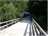 3
3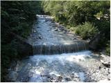 4
4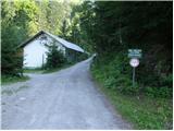 5
5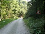 6
6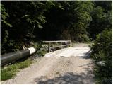 7
7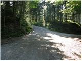 8
8 9
9 10
10 11
11 12
12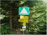 13
13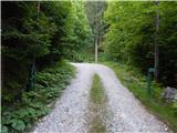 14
14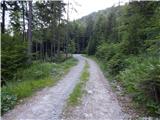 15
15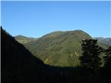 16
16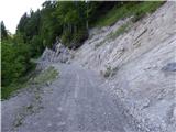 17
17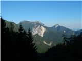 18
18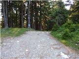 19
19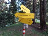 20
20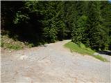 21
21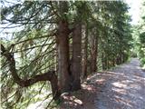 22
22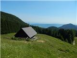 23
23