Rudnik pri Radomljah - Vrtače (via Lancar)
Starting point: Rudnik pri Radomljah (362 m)
Starting point Lat/Lon: 46.1955°N 14.626°E 
Path name: via Lancar
Time of walking: 1 h 30 min
Difficulty: easy unmarked way
Difficulty of skiing: no data
Altitude difference: 396 m
Altitude difference (by path): 435 m
Map:
Access to starting point:
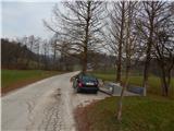
A) From the roundabout on the Kamnik bypass, we take the exit in the direction of Volčji Potok, then still before Arboretum Volčji Potok we turn left onto the road towards Rudnik pri Radomljah. We continue driving past the Arboretum golf course, and when we reach the priority road in Rudnik pri Radomljah, from the intersection we continue left and then park by the NOB monument, where there is space for at most 2 cars.
B) We drive to Radomlje, where from the roundabout in the middle of the settlement we take the exit towards the settlement Rova. Just over 100 m ahead from the church in Radomlje, we turn left onto Opekarniška Street. We continue driving straight and follow the signs for Rudnik. We continue past Gallery Repanšek and Glamping OB ROBU GOZDA, then soon on the right we notice the NOB monument, where we park.
Path description:
From the starting point, we continue on the road which continues towards the north and splits before a smaller hamlet. We continue on the middle road which leads us past a few houses, then it passes into the forest, through which it mostly ascends moderately. Higher, the path brings us out of the forest, where we go through the yards of a few houses, and behind the houses, the path splits.
We continue straight and on a grassy cart track we cross a larger hay meadow. Higher, the cart track ends, and we continue slightly left to the nearby hunting observation post, where we step into the forest and after a few steps reach another, wider cart track. We follow the cart track to the right, and at the less noticeable junction we choose the left cart track, so that Grdavov hrib, which we see in front of us, we bypass on the left side. On the northern side of the mentioned hill we reach an indistinct ridge, on which the cart track continues. Higher the ridge passes into a slope, and we follow the cart track straight or towards the north. A few minutes higher we reach the asphalt road Kamnik - Zgornje Palovče, which we follow to the left, walking along it to the place where a forest road branches off to the right from the asphalt road. We continue on the forest road, walking only a few steps along it, as from it we continue right onto a cart track, and from the cart track even a bit more to the right onto a footpath, which ascends steeply. Higher we cross transversely to the right a newer cart track, then we still ascend steeply for a short time. The path soon levels out and brings us to the indistinct Lancar, from which a moderate descent follows to the saddle between the summits Lancar and Vrtače.
Next follow a few junctions, where we continue towards the east and the ascent to the western subpeak, from which a short descent follows. On a smaller saddle we reach the cart track, which we cross, then we step out of the forest and ascend via a panoramic hay meadow to the hunting observation post. At the observation post we go slightly left and continue another 10 or so steps with a view of the highest peaks of the Kamniško Savinjske Alps, after which the path returns to the forest, through which it ascends to the indistinct and overgrown summit.
Description and pictures refer to the condition in 2018 (December).
Pictures:
 1
1 2
2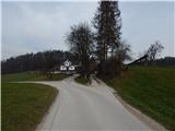 3
3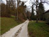 4
4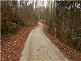 5
5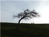 6
6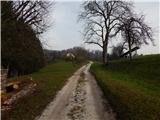 7
7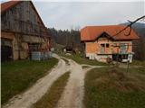 8
8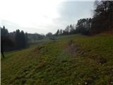 9
9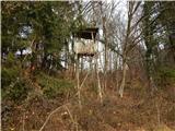 10
10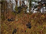 11
11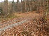 12
12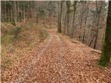 13
13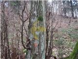 14
14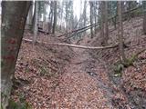 15
15 16
16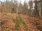 17
17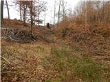 18
18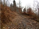 19
19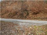 20
20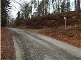 21
21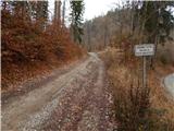 22
22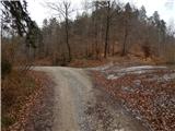 23
23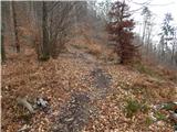 24
24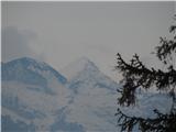 25
25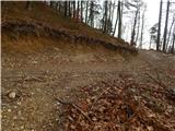 26
26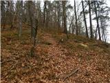 27
27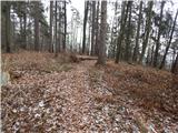 28
28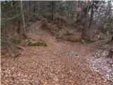 29
29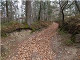 30
30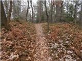 31
31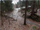 32
32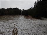 33
33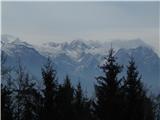 34
34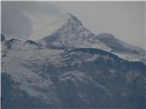 35
35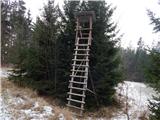 36
36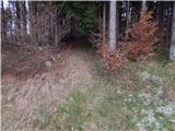 37
37 38
38 39
39 40
40