Rudno polje - Srednji Selišnik (snowy approach)
Starting point: Rudno polje (1340 m)
Starting point Lat/Lon: 46.3458°N 13.9236°E 
Path name: snowy approach
Time of walking: 2 h 15 min
Difficulty: easy pathless terrain
Difficulty of skiing: partly demanding
Altitude difference: 550 m
Altitude difference (by path): 550 m
Map: Triglav 1:25.000
Access to starting point:
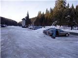
From highway Ljubljana - Jesenice we go to the exit Lesce and follow the road ahead towards Bled. In Bled at the traffic lights, the signs for Pokljuka point us to the right. Ahead we drive through Gorje and past the abandoned ski slope Zatrnik to Rudno polje on Pokljuka (large parking lot, barracks and shooting range).
Path description:
From the parking lot, we go on a cross country ski trail, which goes towards the ski slope Viševnik. After ten minutes of walking, we get to the ski slope. We continue here on the road which goes on the left side of the ski slope. The road makes a sharp right turn and soon crosses the ski slope. While ski slope operates we carefully cross ski slope and we continue on the other side further on the road which soon brings us to a crossroad. Here we go to the left upper road where there is a gate. Only few minutes ahead we come on the mountain pasture, where a beautiful view opens up. The road in a gentle ascent on the left side bypasses the mountain pasture. After a good five minutes of additional walking, we leave the road and go left on pathless terrain. The slope is at first quite gentle but already after few minutes we get to steep ascent. In unfavorable conditions we can here trigger some smaller avalanche, but because the slope is vegetated is this probability smaller. If we aren't sure about conditions it is better to go back. After approximately 20 minutes, the steepness decreases and we continue in the direction of indistinct ridge upwards. The path on that wide ridge soon brings us to a groove on our right side. Our path continues above the groove and we cross it on its beginning. The path for a short time again steeply ascends and brings us on less vegetated slopes below Mali Selišnik. We notice it on the right side. We recognize it by rocky upper part. We go towards this mountain and we cross it on the left side.
From here on we continue on slopes vegetated with dwarf pines all the time upwards. When we ascend on first hill a view opens up towards indistinct summit. This peak, which is already very near is Srednji Selišnik and we reach it in few minutes of additional walking. Right at the back is Veliki Selišnik.
The orientation on the path is difficult in fog almost impossible. Part of the path is exposed to avalanches.
Pictures:
 1
1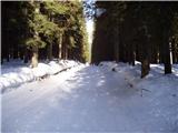 2
2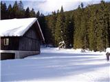 3
3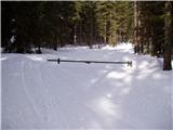 4
4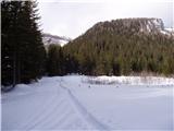 5
5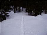 6
6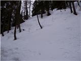 7
7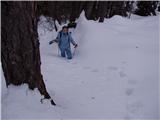 8
8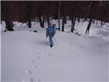 9
9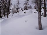 10
10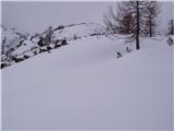 11
11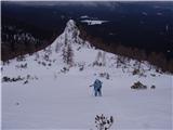 12
12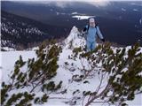 13
13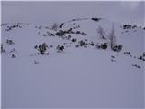 14
14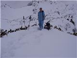 15
15