Ruski križ - Koča v Krnici
Starting point: Ruski križ (1000 m)
Starting point Lat/Lon: 46.4444°N 13.7746°E 
Time of walking: 45 min
Difficulty: easy marked way
Difficulty of skiing: easily
Altitude difference: 113 m
Altitude difference (by path): 165 m
Map: Kranjska gora 1:30.000
Access to starting point:
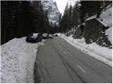
We drive into Kranjska Gora, where we continue driving left in the direction of Vršič or Bovec. Only a little before the 3rd hairpin turn of road Ruska cesta or Vršiška cesta, we will by the road notice a smaller parking lot, where we park. On the opposite side of the road, we can see the cross, and few meters ahead on the left side a turn-off of the forest road and signposts for Koča v Krnici. We can also descend on the mentioned worse macadam road towards Suha Pišnica where there is also a little larger parking lot. Few parking lots are also a little ahead by the main road between the 4th hairpin turn and Mihov dom.
To the starting point, we can also come from Primorska side through the mountain pass Vršič.
Path description:
We go on a bad macadam road which immediately starts moderately descending through the forest. Right upwards soon a path branches off which leads towards Mihov dom and ahead on Vršič. We continue on the road which is descending and after few minutes it brings us to the parking lot near the riverbed of Suha Pišnica. Here by the parking lot there is also a drinking water. We continue right past the parking lots and then we continue on the road which is further closed for public traffic.
The road here at first crosses the stream Suha Pišnica and then turns slightly to the left and it brings us out of the forest on ample grassy slopes of the mountain pasture V Klinu, where on the right we notice a lonely hut, and on the left a smaller memorial park Mali Tamar. The path ahead entirely flattens, and then it joins the forest road which comes from the former hotel Erika or bridge over Velika Pišnica. Here we continue right, and we soon come to a crossing where a footpath branches off to the right, which also leads towards Koča v Krnici. We continue straight on the macadam road. Further, we then follow relatively steep forest road all the way to Koča v Krnici, which we reach after approximately 20 minutes of additional walking.
On the way: Planina V Klinu (960m)
Trip can be extended to: Pogačnikov dom na Kriških podih (4 h 25 min)
,
Gubno (4 h 15 min)
,
Križ
,
Planja (6 h 10 min)
,
Špik (4 h 15 min)
,
Stenar (5 h 30 min)
,
Dolkova špica (5 h)
,
Razor (6 h 25 min)
,
Velika Martuljška Ponca (6 h 15 min)
,
Veliki Oltar (5 h 15 min)
,
Škrlatica (6 h 45 min)
Pictures:
 1
1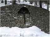 2
2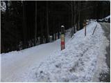 3
3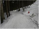 4
4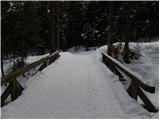 5
5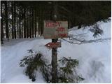 6
6 7
7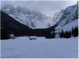 8
8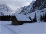 9
9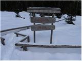 10
10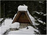 11
11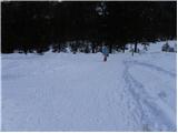 12
12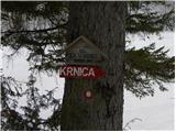 13
13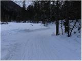 14
14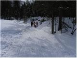 15
15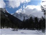 16
16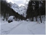 17
17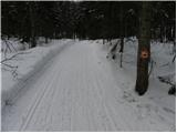 18
18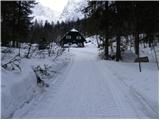 19
19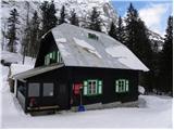 20
20 21
21